Írott-kő, Mountain summit between Burgenland, Austria and Kőszeg District, Hungary
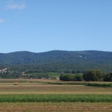
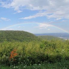
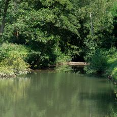
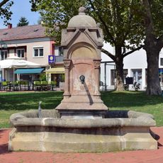
Írott-kő is a mountain summit located at the border between Burgenland in Austria and Kőszeg District in Hungary. The peak can be reached by hiking trails from both the Austrian and Hungarian sides, with the town of Velem offering the most straightforward access.
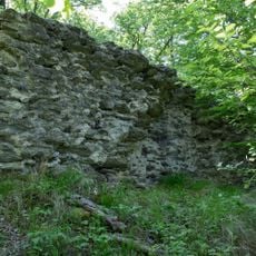
The mountain's name comes from border stones that once separated lands owned by the Batthyány and Esterházy families. These historical markers continue to shape how the peak is understood as a dividing line between two regions.
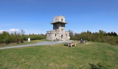
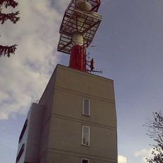
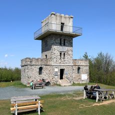
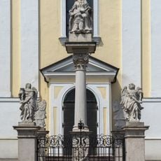
The observation tower built in 1913 sits right on the border and lets visitors stand in both countries at the same time. This structure has become a symbolic place where people experience national boundaries in a very direct way.
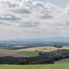
The peak is accessible year-round, with hiking times ranging from two to four hours depending on the chosen route. Sturdy footwear is recommended, and visitors should be prepared for changing weather conditions, especially during colder months.
The exact height of the peak is measured differently by Austria and Hungary, creating a discrepancy of about one meter between their official figures. This disagreement over precise elevation is a lighthearted reflection of the national boundary itself.
The community of curious travelers
AroundUs brings together thousands of curated places, local tips, and hidden gems, enriched daily by 60,000 contributors worldwide.