Zone de protection paysagère de Kőszeg, Landscape park in Vas County, Hungary
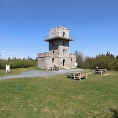
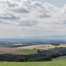
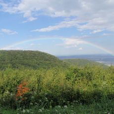
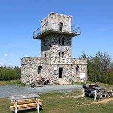
The Kőszeg Landscape Protection Area covers 4,200 hectares of the Kőszeg Hills west of Kőszeg, of which 550 hectares are strictly protected. The hills belong to the Alps and are cut by deep valleys; the highest point, Írott-kő, reaches 882 m. Nearly continuous forests of hornbeam-oak and montane beech cover the range, with planted spruce and fir stands and alder swamps in wet valleys.
The Kőszeg Landscape Protection Area was created in 1980, before the change of regime, and some of its parts were then closed to hikers. That isolation helped the mountain's natural values survive to this day. It covers 4,200 hectares, of which 550 are strictly protected, and is managed by the Őrség National Park Directorate.
The area's name comes from the seven springs at Hétforrás, where the 1896 Millennium fountain basin was named after the seven Magyar chieftains Álmos, Előd, Ond, Kond, Tas, Huba and Töhötöm, whose names appear on small stone tablets. The spring, formerly called Várkuta, supplied water to the Óvár above it. Near the Kálvária hill, a plaque marks a bunker where the Holy Crown was kept from December 1944 to March 1945.
The terrain is best visited between spring and fall when the paths are dry and visibility is good. Visitors should bring sturdy footwear and a map or navigation device, as some parts of the area can be challenging to navigate.
The Alpine grasshopper lives in Hungary only here, in the Kőszeg range. The streams also hold stone crayfish, now increasingly rare, and the spotted salamander is a common sight along the mountain brooks. The capercaillie has disappeared from the area, but the hazel grouse remains.
The community of curious travelers
AroundUs brings together thousands of curated places, local tips, and hidden gems, enriched daily by 93,068 contributors worldwide.