
Dédai-erdő Természetvédelmi Terület, Wald in Ungarn
Location: Barabás
Location: Szabolcs-Szatmár-Bereg County
GPS coordinates: 48.24001,22.47778
Latest update: April 10, 2025 18:29
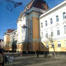
8 Koshuta Square, Berehove
10.5 km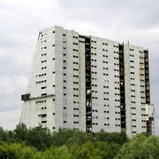
Mukachevo Radar Station
22.9 km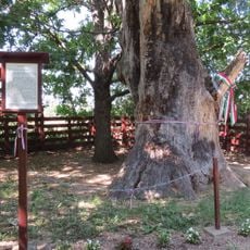
Petőfi's Tree
20.4 km
Koson
1.4 km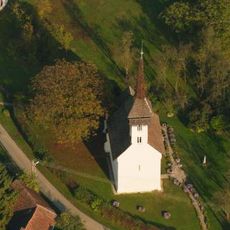
Reformed church in Csaroda
9.3 km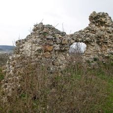
Castle in Kvasovo
22.9 km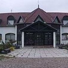
Good Samaritan Children's Home
20.6 km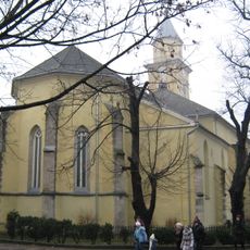
Exaltation of the Holy Cross Church, Berehove
13.2 km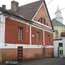
Court of count Gabor Betlen in Berehove
13.2 km
Prytysianskyi Regional Landscape Park
20.4 km
Zone de protection paysagère de Szatmár-Bereg
15.6 km
Büdy-vár
6.3 km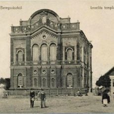
Great Synagogue in Berehove
12.7 km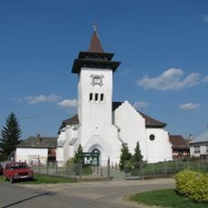
Kalvinana preĝejo (Nagyvarsány)
17.1 km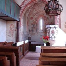
Reformed Church in Nagylónya
17.6 km
Берагаўскія нізкагор’і
18.2 km
Berehivske horbohirya
16.5 km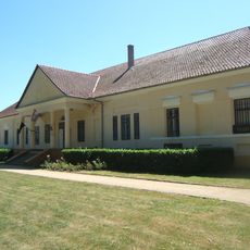
Károlyi Mansion, Beregsurány
10.3 km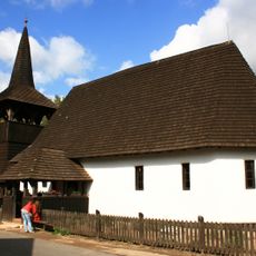
Reformed church in Tákos
10.5 km
Beregi Museum
17 km
Bockereki-erdő
8.7 km
Chopivka Catholic Church
12 km
Berehove museum
13.2 km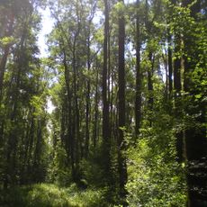
Velykodobronskyi Reserve
21 km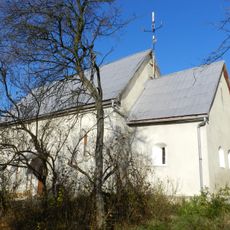
Saint John the Baptist church, Kidosh
16.4 km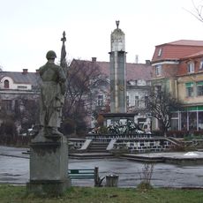
Сквер і пл. Героїв
12.9 km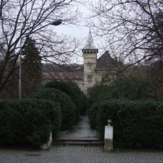
Berehove Arboretum
13.7 km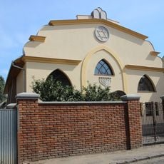
Синагога на улице Зрини
12.7 kmReviews
Visited this place? Tap the stars to rate it and share your experience / photos with the community! Try now! You can cancel it anytime.
Discover hidden gems everywhere you go!
From secret cafés to breathtaking viewpoints, skip the crowded tourist spots and find places that match your style. Our app makes it easy with voice search, smart filtering, route optimization, and insider tips from travelers worldwide. Download now for the complete mobile experience.

A unique approach to discovering new places❞
— Le Figaro
All the places worth exploring❞
— France Info
A tailor-made excursion in just a few clicks❞
— 20 Minutes