Szabolcs-Szatmár-Bereg County
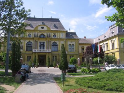
Szabolcs-Szatmár-Bereg County, Administrative county in northeastern Hungary.
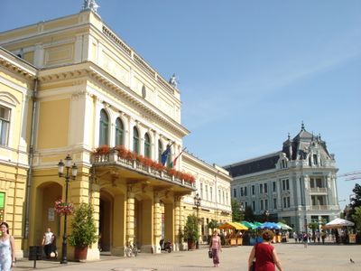
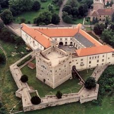
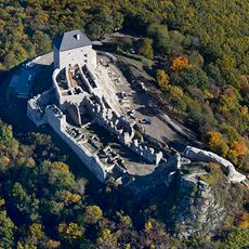
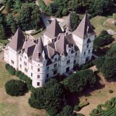
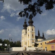
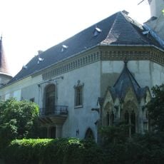
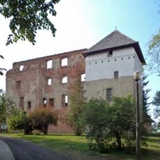
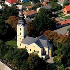
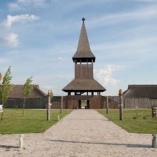
Szabolcs-Szatmár-Bereg is a county in northeastern Hungary that covers a large territory divided into multiple districts with Nyíregyháza as its administrative hub. The landscape features farmland, small towns, and villages woven together across the region.
The region took its current shape in 1950 following a major reorganization that reshaped boundaries in response to changes after World War II. This redrawing of borders reflected broader shifts in the political landscape of the era.
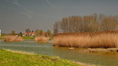
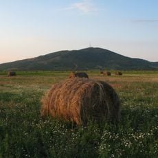
Agricultural practices have shaped how people here live and work for generations, with farming communities still central to daily life. The land itself tells the story of what matters most to the residents.
The county connects to neighboring countries through road and rail routes, making travel straightforward for those crossing borders or moving through the region. Since much of the area is rural, travelers should plan accordingly as facilities spread out across smaller towns and villages.
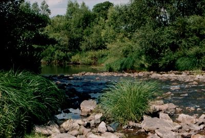
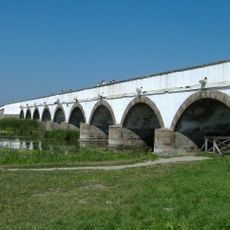
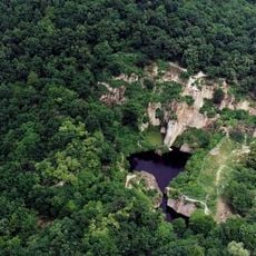
The Tisza River runs along the northern border and nourishes the soil, supporting extensive fruit growing that has been central to the local economy for many generations. Plums from this area remain particularly well-known among Hungarian produce.
Location: Hungary
Inception: March 16, 1950
Capital city: Nyíregyháza
Part of: Northern Great Plain
Shares border with: Zakarpattia Oblast, Košice Region, Borsod-Abaúj-Zemplén County, Hajdú-Bihar County
Website: https://szszbmo.hu
GPS coordinates: 48.00000,22.16667
Latest update: December 12, 2025 10:16
Hortobágy National Park
88 km
Nyíregyháza Zoo
32.9 km
Boldogkő Castle
79.2 km
Sárospatak Castle
56.6 km
Regéc Castle
74.2 km
Andrássy Castle
73.9 km
Megyer-hegyi Tarn
59.3 km
Zemplén Adventure Park
60.4 km
Berehove Raion
56.3 km
Kopasz Hill, Tokaj
58.1 km
Greek Catholic church in Máriapócs
17.2 km
Saint Teresa chapel
64.1 km
Tokaj Castle
57.9 km
Károlyi Mansion, Carei
41.7 km
Kisvárda Castle
26.6 km
Szerencs Castle
73.9 km
8 Koshuta Square, Berehove
40.2 km
Várkert Sportpálya
25.8 km
Szabolcs earthwork
53.8 km
Archeparchy of Hajdúdorog
34.2 km
M3 Archeopark
77.8 km
Mukachevo Radar Station
58.1 km
Tiszadobi Pontonhíd
76.4 km
Cathedral of Hajdúdorog
53.8 km
Boxwood maze
73.9 km
Castle of Sátoraljaújhely
58.1 km
Watermill (Túristvándi, Hungary)
35.8 km
Reformed Church in Nyírbátor
18.2 kmVisited this place? Tap the stars to rate it and share your experience / photos with the community! Try now! You can cancel it anytime.
Discover hidden gems everywhere you go!
From secret cafés to breathtaking viewpoints, skip the crowded tourist spots and find places that match your style. Our app makes it easy with voice search, smart filtering, route optimization, and insider tips from travelers worldwide. Download now for the complete mobile experience.
A unique approach to discovering new places❞
— Le Figaro
All the places worth exploring❞
— France Info
A tailor-made excursion in just a few clicks❞
— 20 Minutes