
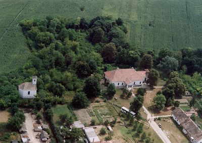
Medina, village in Tolna County, Hungary
Location: Szekszárd District
Shares border with: Kölesd, Szedres
Website: http://medinafalu.hu
GPS coordinates: 46.47363,18.64154
Latest update: March 4, 2025 20:48

Sió
24.4 km
Szent László bridge
23.7 km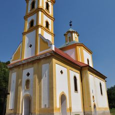
Serbian church of Grábóc
20.8 km
Őcsényi Szent István király templom
19.9 km
Castra Alisca Ad Latus
19.2 km
Tolna County Hall
14.5 km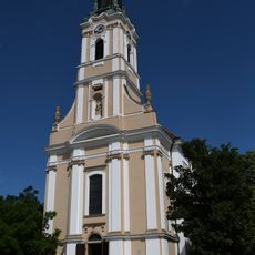
Inner City Parish Church in Szekszárd
14.4 km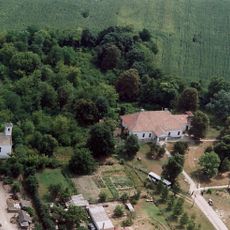
Apponyi Mansion in Medina, Hungary
686 m
Wosinsky Mór County Museum
14.8 km
Saint Michael the Archangel church in Szekszárd
13.7 km
Somoly
25.8 km
Town Hall (Szekszárd)
14.5 km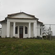
Uzdborjád
14.2 km
Szeniczey Mansion, Paks
24.4 km
Lutheran Church, Szekszárd
14.8 km
Synagoge
17 km
Garay János-szobor
14.6 km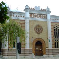
Szekszárd Synagogue
14.8 km
Art Gallery of Paks
22.8 km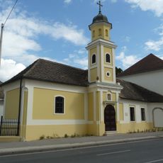
Saints John the Baptist and Paul Chapel, Szekszárd
15 km
Bezerédj Street 1, Szekszárd
14.6 km
Szentlélek templom (Paks)
22.2 km
Immaculate Conception Church in Bonyhád
21.3 km
Orthodoxe Synagoge (Bonyhád)
21 km
Babits Mihály Kulturális Központ
14.7 km
Református templom (Sárpilis)
26.3 km
Jézus Szíve templom
24.2 km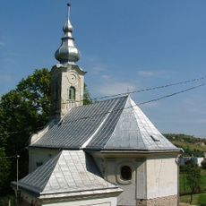
Chapel of the Nativity of the Virgin Mary in Szekszárd
14 kmVisited this place? Tap the stars to rate it and share your experience / photos with the community! Try now! You can cancel it anytime.
Discover hidden gems everywhere you go!
From secret cafés to breathtaking viewpoints, skip the crowded tourist spots and find places that match your style. Our app makes it easy with voice search, smart filtering, route optimization, and insider tips from travelers worldwide. Download now for the complete mobile experience.

A unique approach to discovering new places❞
— Le Figaro
All the places worth exploring❞
— France Info
A tailor-made excursion in just a few clicks❞
— 20 Minutes