
Zone de protection paysagère de Sághegy, protected area
Location: Celldömölk
Inception: 1975
GPS coordinates: 47.23130,17.12070
Latest update: March 13, 2025 06:25
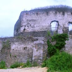
Castle of Somló
20.9 km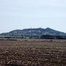
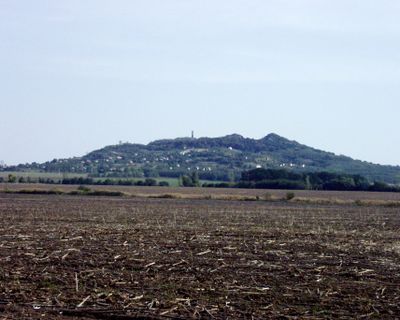
Ság Mountain
382 m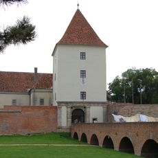
Sárvár Castle
14 km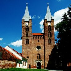
Church of the Annunciation in Türje
27.4 km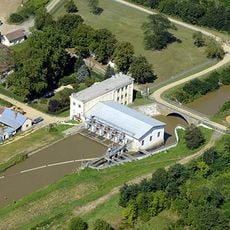
Ikervár Hydroelectric Power Plant
14.2 km
Saint Michael church in Csempeszkopács
25.8 km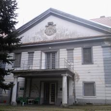
Batthyány-Strattmann Mansion, Intaháza
3.8 km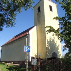
Saint Margaret of Antioch Chapel, Somlóvásárhely
21.8 km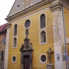
Franciscan Church, Pápa
28 km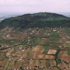
Somló Tájvédelmi Körzet
21.2 km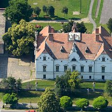
Barthodeiszky Mansion, Beled
26.2 km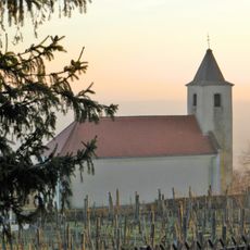
Saint Helena Chapel, Somlójenő
20.9 km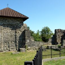
Dömölk Abbey
3.2 km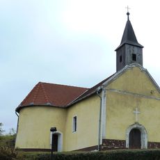
Saint Martin Chapel
21.4 km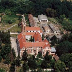
Monasterio de Premontrei (Türje)
27.4 km
Lutheran Church, Sárvár
14.1 km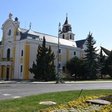
Category:Saint Ladislaus Church in Sárvár
14.2 km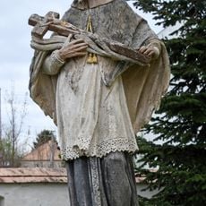
Statue of Saint John of Nepomuk
25 km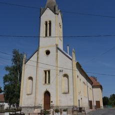
Saint Nicholas Church, Ölbő
21.2 km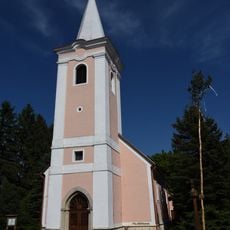
Preĝejo Sankta Georgo
16.8 km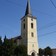
Saint Nicholas Church in Sárvár
15.5 km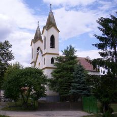
Református templom (Kéttornyúlak)
26 km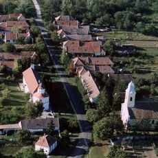
Legszentebb Megváltó temploma
20.4 km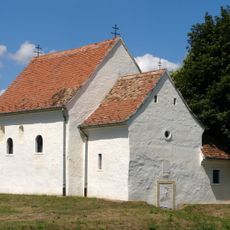
Iglesia de San Miguel
2.4 km
Lutheran church in Celldömölk
3.5 km
Reformed Church in Noszlop
26 km
Statue of Saint John of Nepomuk
25.1 km
Szent Imre templom (Bő)
27.3 kmVisited this place? Tap the stars to rate it and share your experience / photos with the community! Try now! You can cancel it anytime.
Discover hidden gems everywhere you go!
From secret cafés to breathtaking viewpoints, skip the crowded tourist spots and find places that match your style. Our app makes it easy with voice search, smart filtering, route optimization, and insider tips from travelers worldwide. Download now for the complete mobile experience.

A unique approach to discovering new places❞
— Le Figaro
All the places worth exploring❞
— France Info
A tailor-made excursion in just a few clicks❞
— 20 Minutes