
Sungai Apit, district in Siak Regency, Riau Province, Indonesia
Location: Siak
Elevation above the sea: 31 m
GPS coordinates: 0.79750,102.38000
Latest update: May 8, 2025 02:27
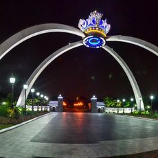
Bukit Serene Palace
105.2 km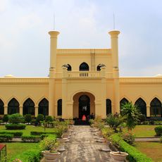
Siak Sri Indrapura palace
36.8 km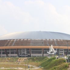
Riau Main Stadium
115.6 km
Tesso Nilo National Park
128.2 km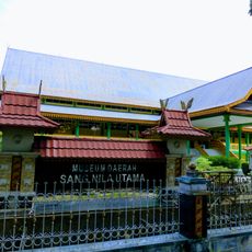
Museum Sang Nila Utama
108.5 km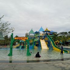
Water Park
107.8 km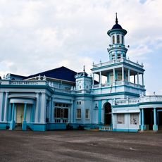
Sultan Ibrahim Jamek Mosque
140.4 km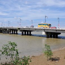
Sultan Ismail Bridge
141.1 km
Kaharudin Nasution Rumbai Stadium
108.6 km
Muar Municipal Council
140.6 km
Bugis Museum
134.6 km
Muar Trade Centre
140.5 km
Zamrud National Park
19.6 km
Sultan Ismail Jamek Mosque
133.6 km
Parit Sulong Bridge
142.3 km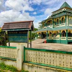
Masjid Djami Keraton Landak
131.9 km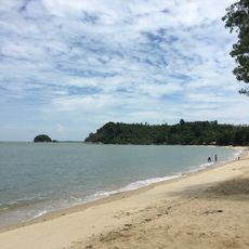
Pelawan beach
107.5 km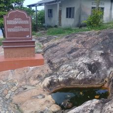
Batu Pahat Well
124.8 km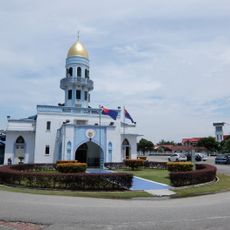
Pontian Town Mosque
136.1 km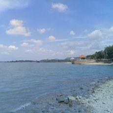
Minyak Beku Beach
124.6 km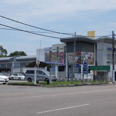
Pontian Public Market
135.7 km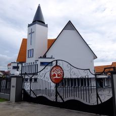
Trinity Presbyterian Church Muar
141.1 km
Pantai Dorak
47.2 km
Tasik Y Recreational Park
131.9 km
Sultan Ibrahim Mosque
141.3 km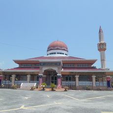
Haji Ahmad Shah Mosque
135.6 km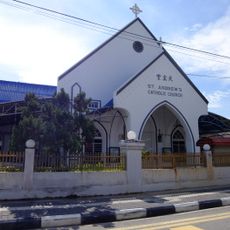
Saint Andrew's Catholic Church
141.5 km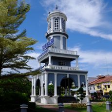
Muar Clock Tower
140.9 kmReviews
Visited this place? Tap the stars to rate it and share your experience / photos with the community! Try now! You can cancel it anytime.
Discover hidden gems everywhere you go!
From secret cafés to breathtaking viewpoints, skip the crowded tourist spots and find places that match your style. Our app makes it easy with voice search, smart filtering, route optimization, and insider tips from travelers worldwide. Download now for the complete mobile experience.

A unique approach to discovering new places❞
— Le Figaro
All the places worth exploring❞
— France Info
A tailor-made excursion in just a few clicks❞
— 20 Minutes