
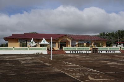
Muara Wahau, district in East Kutai Regency, East Kalimantan Province, Indonesia
Location: East Kutai
Elevation above the sea: 82 m
GPS coordinates: 1.05966,116.84078
Latest update: March 7, 2025 04:08
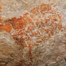
Lubang Jeriji Saléh
58 km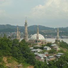
Samarinda Islamic Center Mosque
176.5 km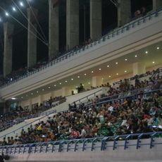
Palaran Stadium
186.1 km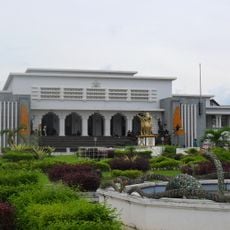
Mulawarman Museum
164.8 km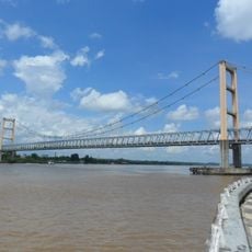
Kutai Kartanegara Bridge
168.4 km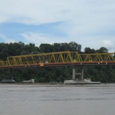
Mahakam Bridge
178.5 km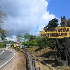
Bukit Soeharto Grand Forest Park
214.6 km
Kutai National Park
90.5 km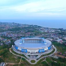
Batakan Stadium
255.5 km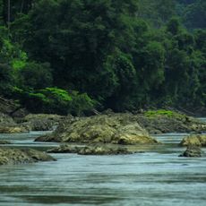
Kayan Mentarang National Park
281.1 km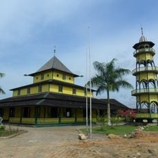
Shiratal Mustaqiem Mosque
178.7 km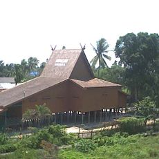
Wasaka Museum
164.8 km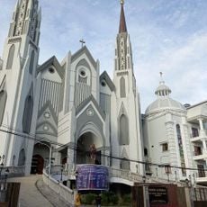
St. Mary's Cathedral, Samarinda
176.9 km
Tanjung Bara (East Kalimantan port)
109.6 km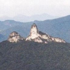
Pulong Tau National Park
328.3 km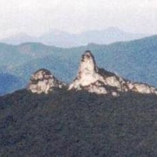
Batu Lawi
352.1 km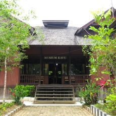
Tuah Himba Wood Museum
163.8 km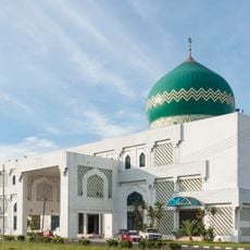
Al-Kauthar Mosque
373.3 km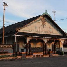
Sadurengas Museum
342.1 km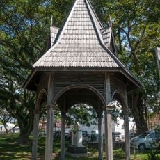
Tawau Bell Tower
373 km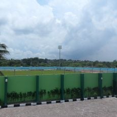
Persiba Stadium
256.4 km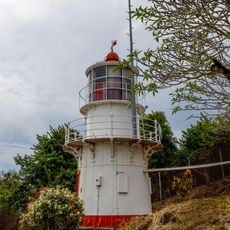
Batu Tinagat Lighthouse
374.6 km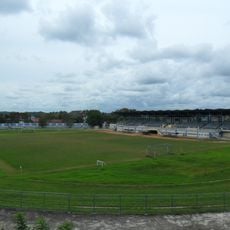
Rondong Demang Stadium
164.6 km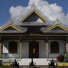
Bulungan Sultanate Museum
205.5 km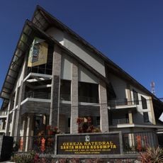
St. Mary Assumpta Cathedral, Tanjung Selor
206.6 km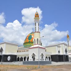
Al-Istiqlal Great Mosque, Murung Raya
315.7 km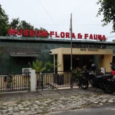
Tarakan Flora and Fauna Museum
264.5 km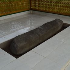
Lesung Batu Inscription
134.8 kmReviews
Visited this place? Tap the stars to rate it and share your experience / photos with the community! Try now! You can cancel it anytime.
Discover hidden gems everywhere you go!
From secret cafés to breathtaking viewpoints, skip the crowded tourist spots and find places that match your style. Our app makes it easy with voice search, smart filtering, route optimization, and insider tips from travelers worldwide. Download now for the complete mobile experience.

A unique approach to discovering new places❞
— Le Figaro
All the places worth exploring❞
— France Info
A tailor-made excursion in just a few clicks❞
— 20 Minutes