
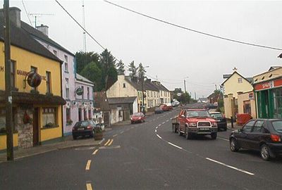
Dowra, human settlement
Location: County Cavan
Elevation above the sea: 57 m
GPS coordinates: 54.11000,-8.01000
Latest update: May 11, 2025 16:10
Marble Arch Caves
20.9 km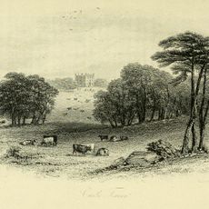
Kilronan Castle
12.6 km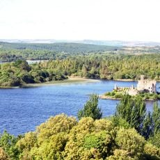
Lough Key Forest Park
21.1 km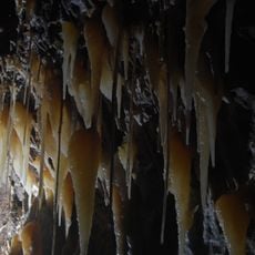
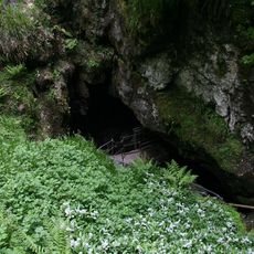
Shannon Cave
18 km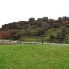
Arigna Mining Experience
7.9 km
Holy Trinity Abbey
20.9 km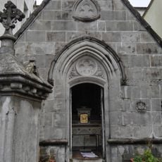
Costello Chapel
19.2 km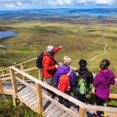
Legnabrocky / Cuilcagh Trail
19.7 km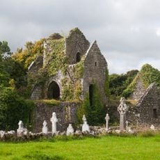
Ballindoon Friary
20.7 km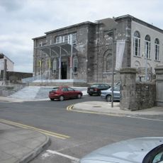
Carrick-on-Shannon Courthouse
19.3 km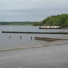
Inchmacnerin Abbey
20.8 km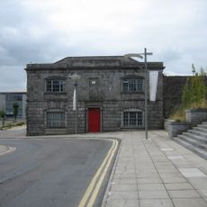
County Hall, Carrick-on-Shannon
19.3 km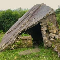
Calf House
19.1 km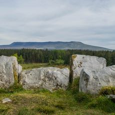
Cavan Burren Park
19 km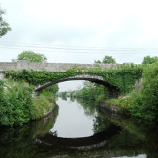
Jamestown Canal Bridge
22 km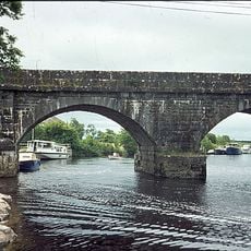
Cootehall Bridge
17.4 km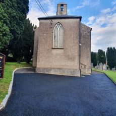
Ballinamore Church
14.9 km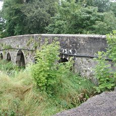
Foyoges Bridge
14.8 km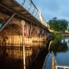
Carrick-on-Shannon Bridge
19.4 km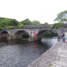
Knockvicar Bridge
17.3 km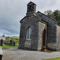
St Catherine's Church
15.4 km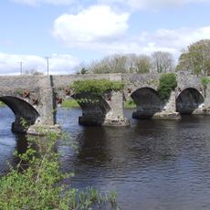
Drumsna Bridge
20.6 km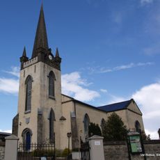
St George's Church
19 km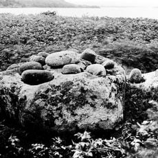
St Brigids Stone
21.2 km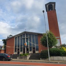
St Patrick's Church
15.1 km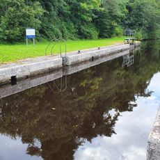
Lock No. 6
14.7 km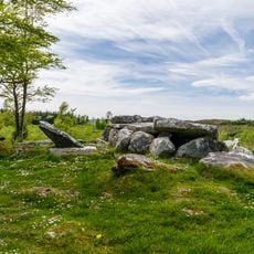
Burren Portal Tomb
19 km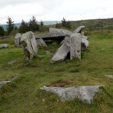
Tullygobbin Hill
19.2 kmReviews
Visited this place? Tap the stars to rate it and share your experience / photos with the community! Try now! You can cancel it anytime.
Discover hidden gems everywhere you go!
From secret cafés to breathtaking viewpoints, skip the crowded tourist spots and find places that match your style. Our app makes it easy with voice search, smart filtering, route optimization, and insider tips from travelers worldwide. Download now for the complete mobile experience.

A unique approach to discovering new places❞
— Le Figaro
All the places worth exploring❞
— France Info
A tailor-made excursion in just a few clicks❞
— 20 Minutes