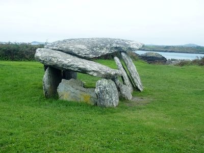
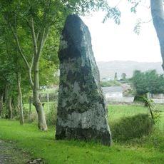
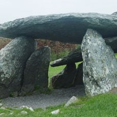
Altar Wedge Tomb, wedge-shaped gallery grave in County Cork, Ireland
Altar Wedge Tomb is a Neolithic burial structure in County Cork with a trapezoidal chamber and two substantial roof stones covering different sections of the gallery. The layout follows the distinctive design typical of wedge tombs found across Ireland, built with carefully stacked stone walls and a sloping entrance.
This stone tomb was built during the Neolithic period roughly 4,000 years ago and was excavated by archaeologists in 1989. The dig uncovered cremated human remains mixed with worked flint tools, charcoal deposits, and evidence of shellfish, revealing details about the burial practices of people from that era.
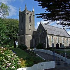
During the 18th century, this tomb served as a hidden gathering place for Catholic worshippers who needed to practice their faith in secret under religious restrictions. The site became important to the community as a refuge for spiritual observance during difficult times.
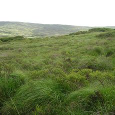
This tomb sits in open countryside west of Schull village and can be reached via the R592 road that connects Toormore and Schull. Since the location is remote and surrounded by fields, it is wise to come prepared with a map or GPS device and to wear sturdy footwear for walking on uneven ground.
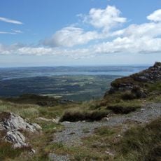
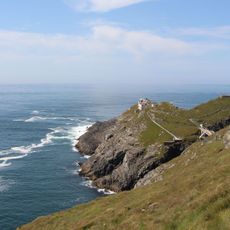
The tomb's entrance may have been intentionally aligned with Mizen Peak and positioned to allow sunlight to enter during Samhain, the Celtic New Year festival. This suggests that its builders chose this location and orientation with awareness of celestial movements and seasonal cycles important to their culture.
The community of curious travelers
AroundUs brings together thousands of curated places, local tips, and hidden gems, enriched daily by 60,000 contributors worldwide.