Mount Gabriel, Summit in County Cork, Ireland
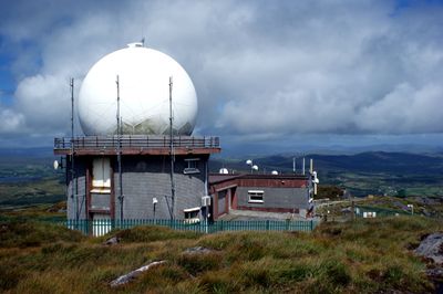
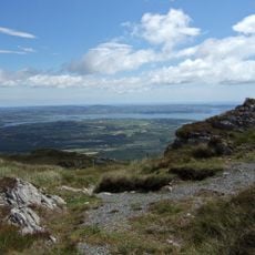
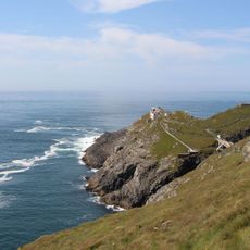
Mount Gabriel rises 407 meters above sea level on the Mizen Peninsula and offers views across Schull Harbour, Long Island Bay, and Roaringwater Bay. Two radar domes from the late 1970s sit at the summit as part of a European air traffic control system.
The site was important for copper mining during the Bronze Age, with archaeological excavations on the southern and eastern slopes confirming this activity. Artifacts from these ancient operations are now housed in the National Museum of Ireland.
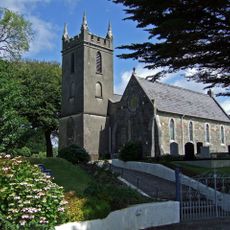
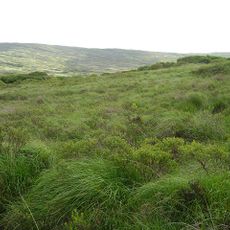
The mountain's Irish name, Cnoc Osta, means 'hill of the encampment' and reflects its place in local tradition and storytelling. This heritage connection becomes apparent as you move across the slopes and through the surrounding landscape.
A public road reaches the radar installations at the summit, allowing vehicles to access the mountain's highest point directly. This makes the ascent easy and saves energy if you prefer not to walk the full distance.
The two radar domes were part of a lesser-known European aviation project established in the 1970s to monitor air traffic over the Atlantic. Today these technological structures create an unusual contrast with the wild natural landscape of the peninsula.
The community of curious travelers
AroundUs brings together thousands of curated places, local tips, and hidden gems, enriched daily by 60,000 contributors worldwide.