
Nurney, village in County Carlow, Ireland
Location: County Carlow
Elevation above the sea: 144 m
GPS coordinates: 52.75060,-6.90970
Latest update: March 10, 2025 06:49
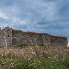
Ballymoon Castle
5.6 km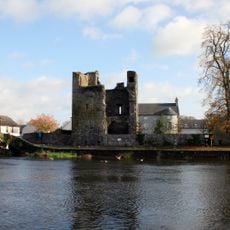
Leighlinbridge Castle
4.9 km
St Laserian's Cathedral
8 km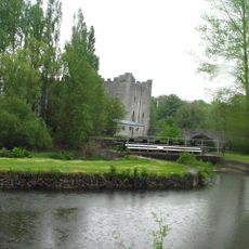
Milford Mills, County Carlow
5.1 km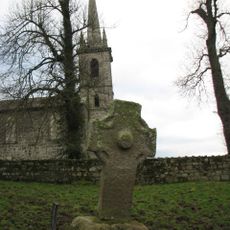
Nurney Cross
315 m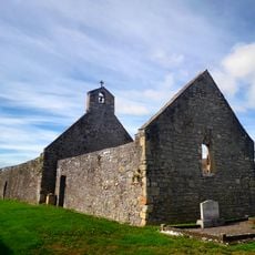
Wells Church
8.3 km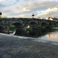
Leighlinbridge Bridge
4.9 km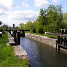
Fenniscourt Lock No. 11
8.7 km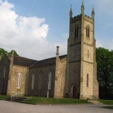
St Mary's Church
6.5 km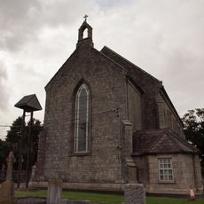
St Mary's Church
9.3 km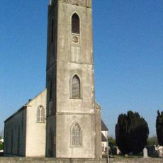
All Saints Church
5.9 km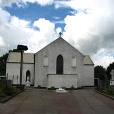
St. Joseph's Church
5.2 km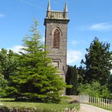
St John's Church
6.8 km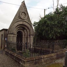
O'Meara Monument
9.3 km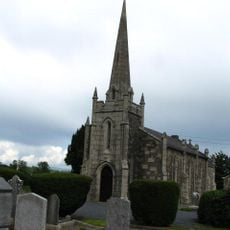
Staplestown Church
7.3 km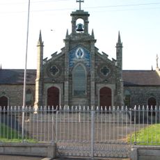
St Patrick's Church
3.8 km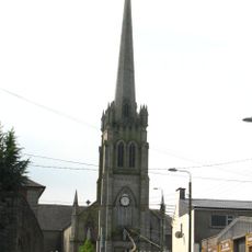
St Andrew's Church
6.3 km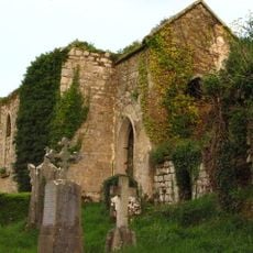
St Mary's Church
4.5 km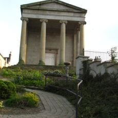
Muine Bheag Courthouse
6.3 km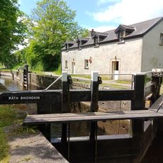
Rathvinden Lock No. 8
4.2 km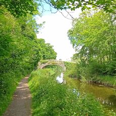
Milford Bridge
5 km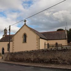
Sts Peter and Paul's Church
9.5 km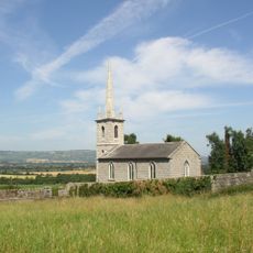
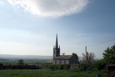
St John's Church
277 m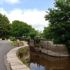
Clogrennan Lock No. 6
7.6 km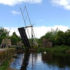
Muine Bheag Lifting Bridge
6.5 km
Bagenalstown Lock
6.5 km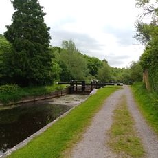
Milford Lock No. 7
4.6 km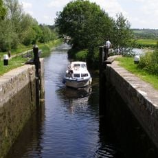
Rathellin Lock
5.3 kmVisited this place? Tap the stars to rate it and share your experience / photos with the community! Try now! You can cancel it anytime.
Discover hidden gems everywhere you go!
From secret cafés to breathtaking viewpoints, skip the crowded tourist spots and find places that match your style. Our app makes it easy with voice search, smart filtering, route optimization, and insider tips from travelers worldwide. Download now for the complete mobile experience.

A unique approach to discovering new places❞
— Le Figaro
All the places worth exploring❞
— France Info
A tailor-made excursion in just a few clicks❞
— 20 Minutes