Chest opened
+${chestReward.xp} XP
Explorer
NOUVEAU ×${chestReward.collectible.quantity}
tapez pour fermer

See the monuments around you in AR Open chests in the app

Around Us is built for your phone — point your camera at the streets and discover the monuments and places around you in augmented reality. Around Us is built for your phone — chests unlock when you walk, explore and capture nearby places.

•

Enable Location

We need your location to show you interesting places around you

Discover nearby places

Find interesting locations and hidden gems around you

Precise directions

Get accurate directions and distances to places

Your location is never shared with other users. It's only used when you tap the location button.

Rathgall Hillfort

Log in to your account

Start exploring — it's free

Trusted by 92,781 travelers worldwide

Continue with Google
Continue with Apple
or

We will send you a code to connect

By continuing, you accept our Terms and Conditions and our Privacy Policy

Check your inbox

We've sent a pincode in your inbox. Please enter the code below.

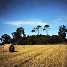
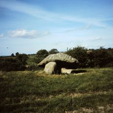
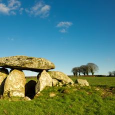
Rathgall Hillfort, Bronze Age hillfort in County Wicklow, Ireland

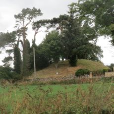
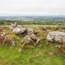
Rathgall Hillfort, known in Irish as An Ráth Gheal, is a multivallate hillfort 5 km east of Tullow in County Wicklow. Three roughly concentric stone ramparts enclose about 7.5 hectares, with a fourth masonry wall of medieval date at the centre forming a ring 35 m across. Excavations found a 15 m ring of postholes inside the inner ditch.

Rathgall was in use from the Neolithic through the Middle Ages, with interruptions, as finds from several millennia show. The three outer stone ramparts belong to the Bronze Age, while the inner wall, 35 m across, is medieval: coins of Edward I and Edward III date it to the 13th and 14th centuries. Barry Raftery's excavations of 1969–1975 were only partial.

The inner sections show traces of workshops where people made and used bronze items in daily life. These spaces reveal how important metalwork was to the community that lived here.

The site is publicly accessible and protected as an Irish National Monument with maintained walking paths. Wear sturdy shoes as you walk over grassy terrain and navigate around the stone structures.

Excavations at Rathgall recovered over 4,000 sherds of bowls and pots, not tens of thousands. Among the finds were 96 glass beads and ornaments of gold, jet, amber and lignite, plus a 15 m ring of postholes that Barry Raftery read as a house, though no roof evidence survives.

The community of curious travelers

AroundUs brings together thousands of curated places, local tips, and hidden gems, enriched daily by 92,781 contributors worldwide.

Start exploring
Location
Elevation above the sea
131 m
GPS coordinates
52.80227,-6.66296
Latest update
October 24, 2026 22:20
Reviews
Share your experience

No review yet

Discussions
Start a discussion...

No discussion yet

« Rathgall Hillfort - Bronze Age hillfort in County Wicklow, Ireland » is provided by Around Us (aroundus.com). Images and texts are derived from Wikimedia project under a Creative Commons license. You are allowed to copy, distribute, and modify copies of this page, under the conditions set by the license, as long as this note is clearly visible.

Discover hidden gems everywhere you go!

From secret cafés to breathtaking viewpoints, skip the crowded tourist spots and find places that match your style. Our app makes it easy with voice search, smart filtering, route optimization, and insider tips from travelers worldwide. Download now for the complete mobile experience.
Around Us App Screenshot
❝

A unique approach to discovering new places❞

— Le Figaro

❝

All the places worth exploring❞

— France Info

❝

A tailor-made excursion in just a few clicks❞

— 20 Minutes

Around Us
Travel Guide & Maps
Download

Send to your phone

QR Code
1

Open the camera app on your mobile.

2

Point at the QR code with your camera. A notification will appear.

3

Tap the notification to open the link.