Connemara National Park, National park in County Galway, Ireland.
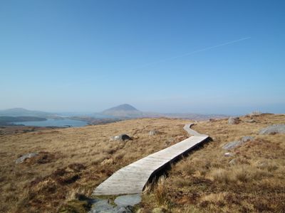
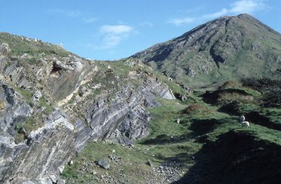
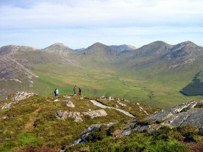
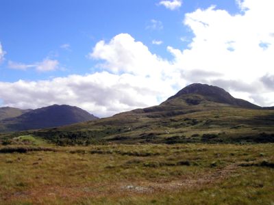
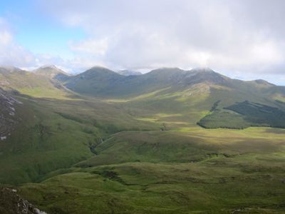
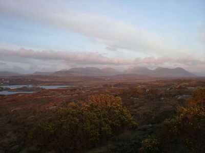
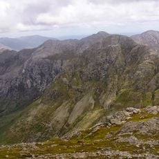
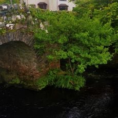
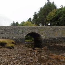
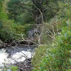
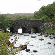
Connemara National Park is a protected natural area of around 2,000 hectares spread across the Twelve Bens mountain range in County Galway. The terrain includes mountains, bogs, heaths, grasslands, and patches of woodland that create a varied landscape.
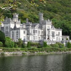
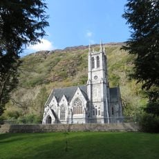
The land was once owned by Kylemore Abbey and an industrial school near Letterfrack before becoming a national park under Irish government protection in 1980. This change marked the shift from private use to public conservation.
The land reflects how people traditionally lived and worked in this part of Ireland, shaping the hills and valleys you walk through today. Local communities still value these landscapes as a connection to their heritage and a place for outdoor recreation.
Four marked walking trails of varying difficulty start near Letterfrack village, accessed via the N59 road. Bring waterproof clothing and sturdy footwear, as weather here changes quickly and ground conditions can be wet.
Benbaun is the highest peak in the area, and from its summit you can see Ballynakill Harbour and the Atlantic Ocean spreading below. On clear days, the views extend for many kilometers across the water and toward distant islands.
Location: County Galway
Inception: 1980
Operator: National Parks and Wildlife Service
Address: Letterfrack, Co. Galway, Ireland
Phone: +3539541054
Website: https://nationalparks.ie/ga/connemara
GPS coordinates: 53.55111,-9.94472
Latest update: December 6, 2025 16:03
Ireland presents a range of natural landscapes and historic sites spread across the entire country. This collection guides you to coastal cliffs, mountain ranges, medieval castles, and lighthouses that reflect Ireland's history and natural environment. You will explore places like Glendalough Valley with its lakes and early monastic settlements, the steep cliffs of Slieve League, and the island communities of the Aran Islands. The route includes national parks such as Glenveagh and Connemara, where you can walk and experience the raw character of the Irish landscape. Historic sites like Skellig Michael, an early medieval monastic settlement on an island, and the Loughcrew Cairns from the Stone Age reveal stories from different periods. Gardens like Birr Castle and Dereen show how people have shaped this landscape over centuries. From the steep cliffs at Mizen Head in the southwest to the northernmost point at Malin Head, you will find traces of nature and history everywhere. Small coastal towns like Cobh and Carlingford invite you to linger, while walking routes and trails such as the Kilkee Cliff Walk or St. Kevin's Way guide you through the countryside.
Ireland offers photographers a combination of historical structures, landscape formations and coastal sections. The island contains medieval fortresses such as Blarney Castle and Rock of Cashel, basalt formations at Giant's Causeway, and early medieval monastery sites at Glendalough. Trinity College Library in Dublin displays historical architecture, while Kilmainham Gaol provides insights into 19th and 20th century Irish history. Natural formations include the Cliffs of Moher in County Clare, rising 702 feet (214 meters) above the Atlantic, and the prehistoric burial mound at Newgrange in County Meath. The Dark Hedges in County Antrim form a tunnel of 18th century beech trees. National parks such as Killarney, Connemara and Glenveagh show different landscape types from lake districts to moorland. Coastal sections along the Ring of Kerry and Dingle Peninsula, plus smaller locations like Hook Head Lighthouse and Cobh, complete the island's geographic range.
Kylemore Abbey
3.9 km
Clifden Castle
10.4 km
Uggool Beach
10.6 km
Bencollaghduff
9.7 km
Ardnagreevagh Wedge Tomb
8.2 km
Letterdeen Standing Stone
8.1 km
Christ Church, Clifden
8.8 km
St. Joseph's Church, Letterfrack
152 m
Church of the Seven Daughters, Cashleen
8.4 km
Ballinakill Church
6.4 km
Salrock Church
9.1 km
Henry Mausoleum
4.4 km
St Joseph's Church
8.4 km
Ardbear Bridge
9.9 km
Holy Trinity Church Errislannan
11.3 km
Keelkyle Bridge
1 km
Tomás Ó Faoláin Monument
8.8 km
Ballynahinch Church
9.6 km
Kylemore Church
4.3 km
St Thomas' Church
4 km
Tullywee Bridge
2.2 km
Owenduff Bridge
10.1 km
Ballinaboy Bridge
10.8 km
D'Arcy Monument
9.2 km
Christ Church
8.7 km
The Station House Museum Clifden
8.5 km
Ardbear Old Bridge
8.7 km
Kylemore Abbey Walled Garden
2.8 kmVisited this place? Tap the stars to rate it and share your experience / photos with the community! Try now! You can cancel it anytime.
Discover hidden gems everywhere you go!
From secret cafés to breathtaking viewpoints, skip the crowded tourist spots and find places that match your style. Our app makes it easy with voice search, smart filtering, route optimization, and insider tips from travelers worldwide. Download now for the complete mobile experience.
A unique approach to discovering new places❞
— Le Figaro
All the places worth exploring❞
— France Info
A tailor-made excursion in just a few clicks❞
— 20 Minutes