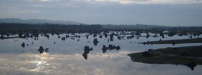
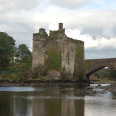
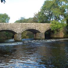
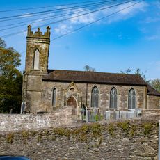
The Gearagh, Nature reserve and wetland near Macroom, Ireland.
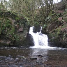
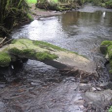
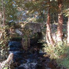
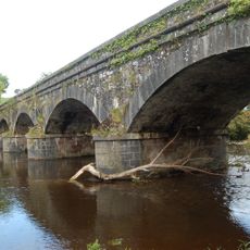
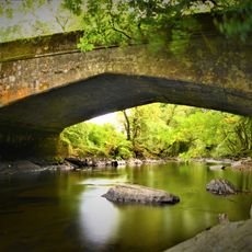
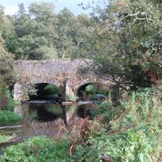
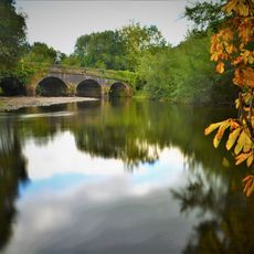
The Gearagh is a nature reserve consisting of small islands separated by narrow water channels, lined with oak, ash, hazel, and hawthorn trees across roughly 300 hectares. The reserve forms a complex wooded wetland system shaped by the river and seasonal flooding patterns.
The site was significantly transformed in 1954 when flooding for hydroelectric dams required relocating residents and removing centuries-old trees. This major intervention led eventually to its protection as a nature reserve.
The name comes from Irish, meaning "wooded river", and you can sense this connection as you move through the water channels lined with trees. The place remains deeply tied to how local people have always understood and lived alongside this flowing landscape.
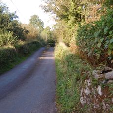
The site experiences regular flooding, so check conditions and access points before planning your visit. Bringing suitable footwear and getting local information about current pathways will help you explore safely.
This submerged woodland is the largest alluvial forest system in Ireland, supporting diverse plant species like wild garlic and marsh marigold. The combination of water and ancient woodland creates a habitat you rarely encounter elsewhere in the country.
The community of curious travelers
AroundUs brings together thousands of curated places, local tips, and hidden gems, enriched daily by 60,000 contributors worldwide.