
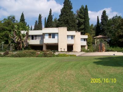
Ginegar, human settlement in Israel
Location: Jezreel Valley Regional Council
Inception: 1922
Elevation above the sea: 109 m
Website: http://ginegar.net
GPS coordinates: 32.66390,35.25830
Latest update: March 24, 2025 18:26
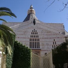
Basilica of the Annunciation
5.6 km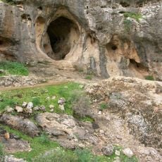
Skhul and Qafzeh hominids
6.2 km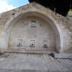
Mary's Well
6.3 km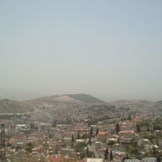
Har Kdumim
4.5 km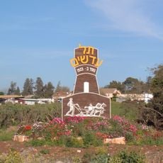
Tel Adashim
4.1 km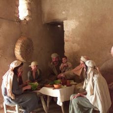
Nazareth Village
5.1 km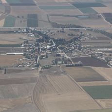
Balfouria
5.2 km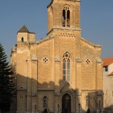
Christ Church
5.5 km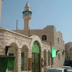
White Mosque
5.7 km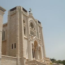
Basilica of Jesus the Adolescent
5.9 km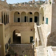
Seraya
5.8 km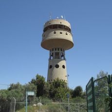
Migdal Haemek water tower
1.1 km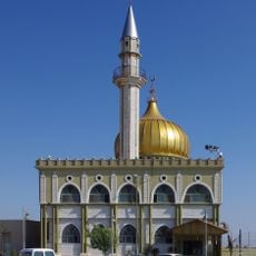
Nabi Saeen Mosque
6.1 km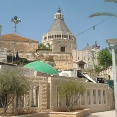
Makan shaab aldin
5.6 km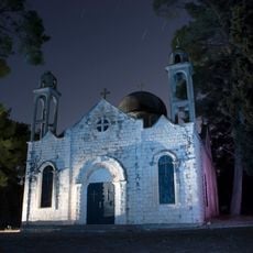
Catholic Church of Ma'alul
3.9 km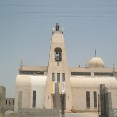
Maronite Church of the Annunciation
5.6 km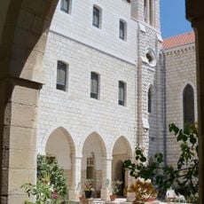
Sisters of Nazareth convent – Nazareth
5.6 km
Dining room in Ginegar
185 m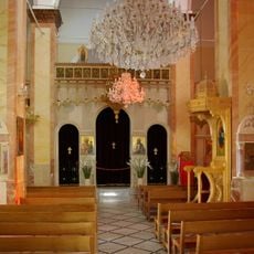
Greek Catholic Church of Nazareth
5.7 km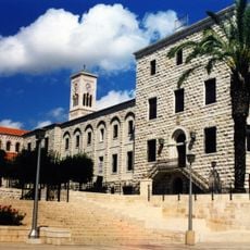
Franciscan Monastery
5.8 km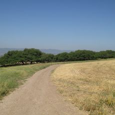
Shemurat Tel Shimron
6 km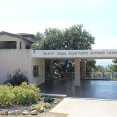
The Museum of Pioneer Settlement
3.3 km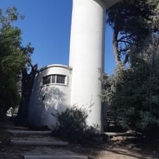
Camel tower (Ginegar)
141 m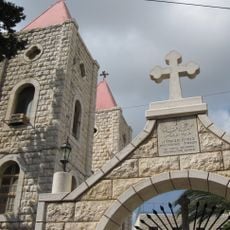
Coptic Church of the Annunciation
6.1 km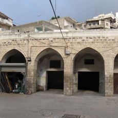
Han el basha
5.5 km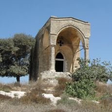
Our Lady of the Fright
5.2 km
Tel Shadud
2.3 km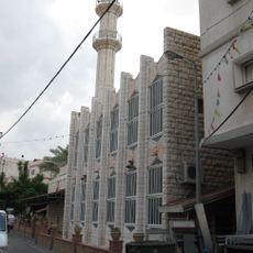
Misgad HaShalom
6 kmVisited this place? Tap the stars to rate it and share your experience / photos with the community! Try now! You can cancel it anytime.
Discover hidden gems everywhere you go!
From secret cafés to breathtaking viewpoints, skip the crowded tourist spots and find places that match your style. Our app makes it easy with voice search, smart filtering, route optimization, and insider tips from travelers worldwide. Download now for the complete mobile experience.

A unique approach to discovering new places❞
— Le Figaro
All the places worth exploring❞
— France Info
A tailor-made excursion in just a few clicks❞
— 20 Minutes