Galilee panhandle, Administrative territory in northern Israel
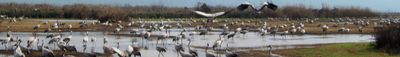
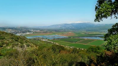
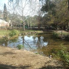
The Galilee Panhandle is a narrow strip of land at the very north of Israel, tucked between Lebanon to the west and north and the Golan Heights to the east. The terrain is shaped by river valleys, basalt rock formations, and open agricultural land that runs through the area.
The territory became part of British Mandatory Palestine in 1924 after France ceded control through a post-World War I border agreement. When Israel was established in 1948, the panhandle became part of the new state and remained so through the conflicts that followed in the region.
Jewish, Arab, and Druze villages sit close to one another across this part of northern Israel, each with its own language, food, and religious buildings. Traveling through the area, you can move from a market selling Arabic flatbread to a Druze village square within a short drive.
A private car is the most practical way to move around since villages and natural areas are spread out and public transport links are limited. Summer days can get very hot, so early mornings or late afternoons are better times to walk or explore outdoor areas.
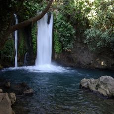
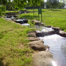
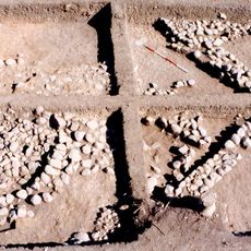
Tel Dan, an ancient mound at the southern edge of the area, holds ruins spanning from the Bronze Age through the Hellenistic period. A stone inscription found there in 1993 is considered the oldest known reference to the House of David outside the Bible.
The community of curious travelers
AroundUs brings together thousands of curated places, local tips, and hidden gems, enriched daily by 60,000 contributors worldwide.