Chest opened
+${chestReward.xp} XP
Explorer
NOUVEAU ×${chestReward.collectible.quantity}
tapez pour fermer
Chest locked

Open chests in the app

Around Us is built for your phone — chests unlock when you walk, explore and capture nearby places.

Enable Location

We need your location to show you interesting places around you

Discover nearby places

Find interesting locations and hidden gems around you

Precise directions

Get accurate directions and distances to places

Your location is never shared with other users. It's only used when you tap the location button.

Log in to your account

Start exploring — it's free

Trusted by 72,886 travelers worldwide

Continue with Google
Continue with Apple
or

We will send you a code to connect

By continuing, you accept our Terms and Conditions and our Privacy Policy

Check your inbox

We've sent a pincode in your inbox. Please enter the code below.

Green Line
Discussion Reviews Photo
110k Popularity

Green Line, Demarcation line in Jerusalem, Israel

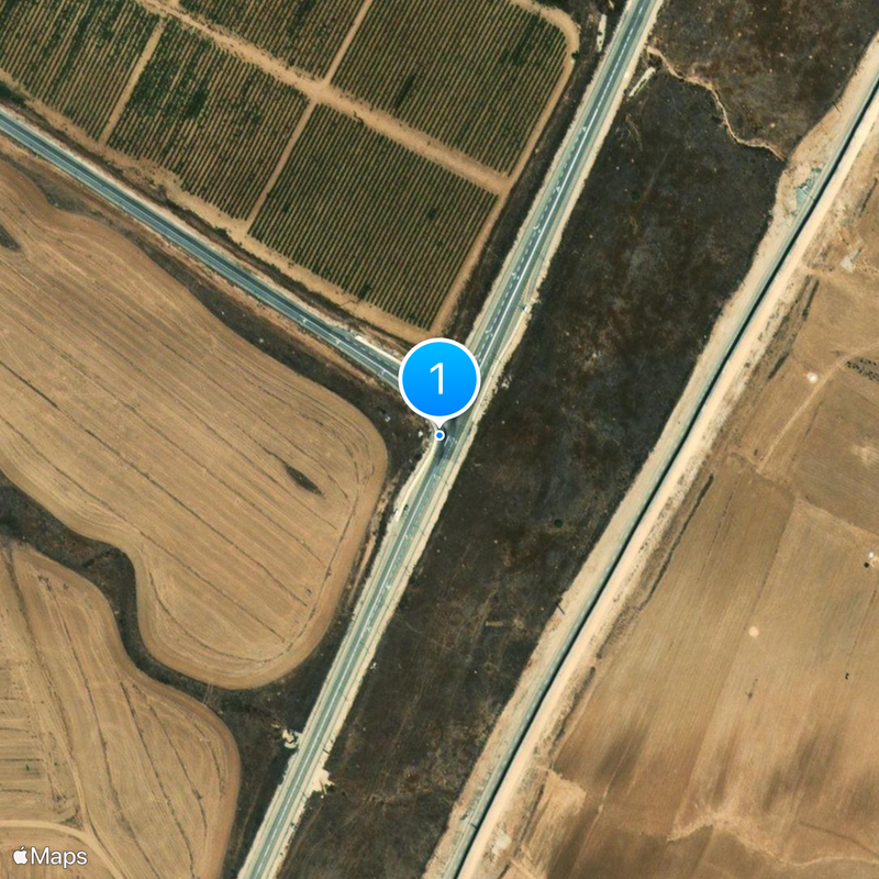
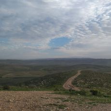
The Green Line is a 320-kilometer demarcation line between Israel and the West Bank, marked by checkpoints and physical barriers throughout its length. It crosses through Jerusalem and runs from the coast to the Jordan Valley, passing through several settlements and urban areas along the way.

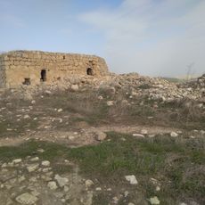
This boundary emerged in 1949 from armistice agreements between Israel and its Arab neighbors following the first Arab-Israeli War of 1948. The course of the line followed the positions of military forces at the moment when fighting stopped.

The name of this boundary comes from the green pencil that negotiators used to mark the armistice line on maps during talks. Today travelers encounter this division at checkpoints, where they present documents and receive clearance before moving from one territory to another.

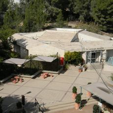
Travelers need valid identification documents and any required travel permits at official crossings that separate the two territories. Waiting times at checkpoints vary depending on the time of day, weekday, and current security measures, so allow extra time for passage.

The entire boundary was drawn on maps in a matter of weeks during armistice talks, without surveyors visiting the ground. This meant it sometimes ran through existing neighborhoods, cutting off streets and dividing whole communities along its path.

The community of curious travelers

AroundUs brings together thousands of curated places, local tips, and hidden gems, enriched daily by 60,000 contributors worldwide.

Start exploring
Inception
1949
Shares border with
Saladin Corridor
GPS coordinates
31.42398,34.89258
Latest update
December 17, 2025 07:43
Reviews
Share your experience

No review yet

Discussions
Start a discussion...

No discussion yet

« Green Line - Demarcation line in Jerusalem, Israel » is provided by Around Us (aroundus.com). Images and texts are derived from Wikimedia project under a Creative Commons license. You are allowed to copy, distribute, and modify copies of this page, under the conditions set by the license, as long as this note is clearly visible.

Discover hidden gems everywhere you go!

From secret cafés to breathtaking viewpoints, skip the crowded tourist spots and find places that match your style. Our app makes it easy with voice search, smart filtering, route optimization, and insider tips from travelers worldwide. Download now for the complete mobile experience.

Around Us App Screenshot

A unique approach to discovering new places

Le Figaro

All the places worth exploring

France Info

A tailor-made excursion in just a few clicks

20 Minutes

Around Us
Travel Guide & Maps
Download

Send to your phone

QR Code
1

Open the camera app on your mobile.

2

Point at the QR code with your camera. A notification will appear.

3

Tap the notification to open the link.