
Be'er Tuvia Water Tower, מגדל מים במושב באר טוביה
Location: Be'er Tuvia Regional Council
Address: באר טוביה
GPS coordinates: 31.73869,34.72684
Latest update: March 17, 2025 22:30
Ad Halom
7.3 km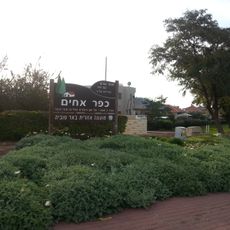
Kfar Ahim
3 km
Nitzan
9.7 km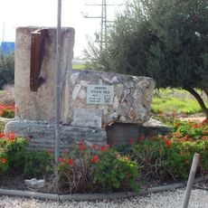
Kfar Warburg
2.2 km
Nitzanim Nature Reserve
9.1 km
Nir Banim
7.8 km
Beit Ezra
6.7 km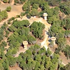
Hill 69
7.4 km
Menuha
10.2 km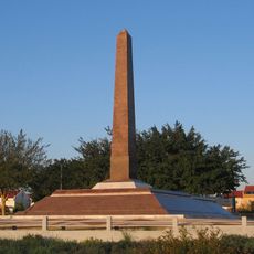
Egypt army memorials in Israel
7.5 km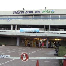
Harzfeld Geriatric Rehabilitation Medical Center
9.2 km
Vardon
9.8 km
Ashdod Multi-purpose stadium
9.8 km
Nitzan Bet
8.7 km
Gedera Museum
9.7 km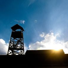
Negba Open Air Museum
9.6 km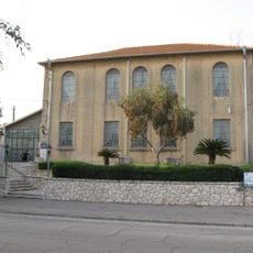
Yeshurun Central Synagogue
9.6 km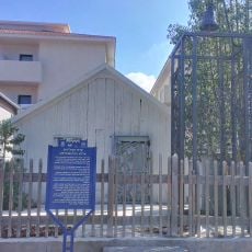
Sverdloff Hut
9.6 km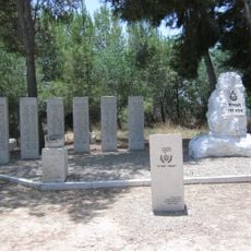
IDF 53rd Battalion Memorial
6.6 km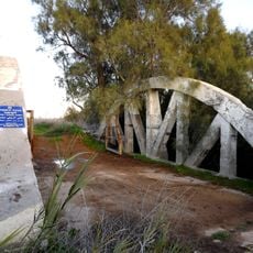
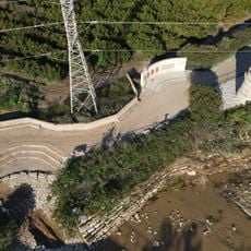
The Arcs bridge over Lachish stream
4.5 km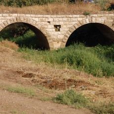
Turkish Railway Bridge Over Ela River
2.8 km
Kiryat Malakhi Municipal Stadium
1.2 km
Sebil House
7.6 km
Beit Levinson
9.6 km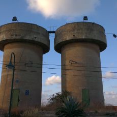
Bnei Ayish Water Towers
7.1 km
Kfar Warburg Military Cemetery
1.6 km
Kibbutz Negba Memorial Museum
9.4 km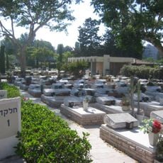
Ashdod Military Cemetery
9.2 kmReviews
Visited this place? Tap the stars to rate it and share your experience / photos with the community! Try now! You can cancel it anytime.
Discover hidden gems everywhere you go!
From secret cafés to breathtaking viewpoints, skip the crowded tourist spots and find places that match your style. Our app makes it easy with voice search, smart filtering, route optimization, and insider tips from travelers worldwide. Download now for the complete mobile experience.

A unique approach to discovering new places❞
— Le Figaro
All the places worth exploring❞
— France Info
A tailor-made excursion in just a few clicks❞
— 20 Minutes