
מגדל מים בחוף הרצליה, מגדל המים של הרצליה מתקופת המנדט הבריטי
Location: Herzliya
Address: דרומית ל"מרכז הדרכה לשדה" (מחנה רשף) וחוף סידנא עלי, במקביל לחלקו הצפוני של רחוב גלי תכלת
GPS coordinates: 32.18491,34.80429
Latest update: March 17, 2025 22:07
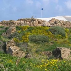
Arsuf
1.2 km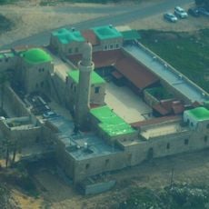
Sidna Ali Mosque
351 m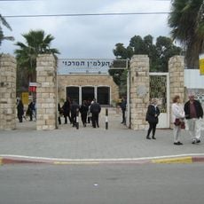
Kiryat Shaul Cemetery
6.4 km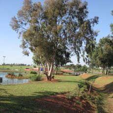
Herzliya Park
2.5 km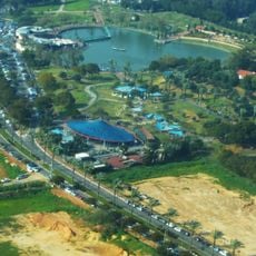
Ra'anana Park
4.1 km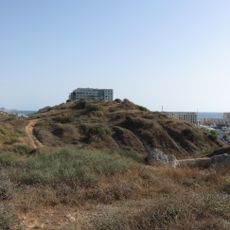
Tel Michal
2.9 km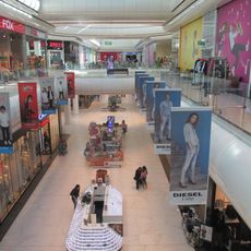
Arena Mall Herzliya
2.5 km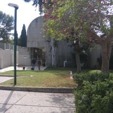
Herzliya Museum of Contemporary Art
4.5 km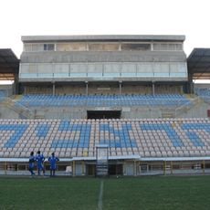
Herzliya Municipal Stadium
2.7 km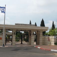
Kiryat Shaul Military Cemetery
6.5 km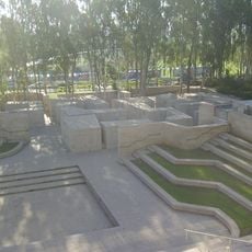
Israel Intelligence Memorial
4.8 km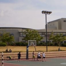
Israel Air Force Center
2.8 km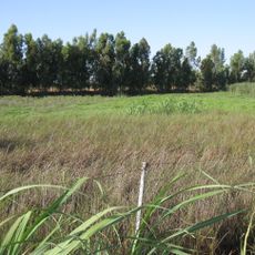
Herzliya winter swamp
2.5 km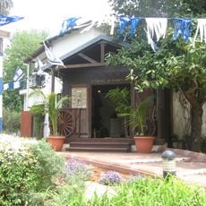
Civilization Museum in Herzliya
3.9 km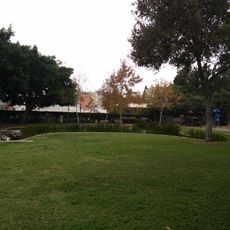
Ben Sheffer Garden
4.8 km
National Olympic Shooting Center
2.9 km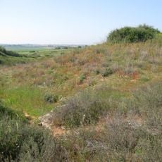
Bnei Zion nature reserve
6.5 km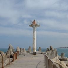
Herzliya Light
2.5 km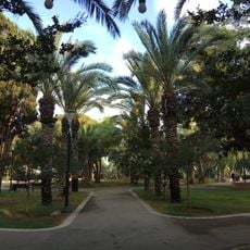
Vriesland Garden
822 m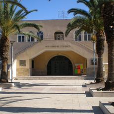
Herzliya great synagogue
4.1 km
מרפאת גוטפריד
4 km
Geological Garden (Ramat Hasharon)
5.6 km
Orchard of Houses
6.2 km
בית רוזנפלד
3.8 km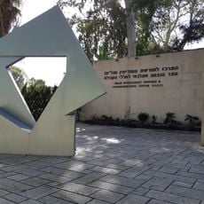
Intelligence Heritage Center
4.8 km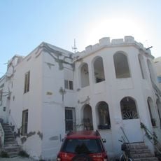
Davor house
2 km
Sidna Ali National Park
645 m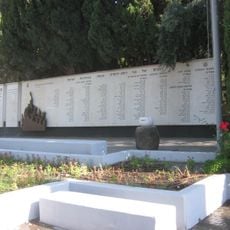
Memorial to the fallen people of Ramat Hasharon
5.1 kmReviews
Visited this place? Tap the stars to rate it and share your experience / photos with the community! Try now! You can cancel it anytime.
Discover hidden gems everywhere you go!
From secret cafés to breathtaking viewpoints, skip the crowded tourist spots and find places that match your style. Our app makes it easy with voice search, smart filtering, route optimization, and insider tips from travelers worldwide. Download now for the complete mobile experience.

A unique approach to discovering new places❞
— Le Figaro
All the places worth exploring❞
— France Info
A tailor-made excursion in just a few clicks❞
— 20 Minutes