Enable Location

We need your location to show you interesting places around you

Discover nearby places

Find interesting locations and hidden gems around you

Precise directions

Get accurate directions and distances to places

Your location is never shared with other users. It's only used when you tap the location button.

Log in to your account

Start exploring — it's free

Trusted by 63,516 travelers worldwide

Continue with Google
Continue with Apple
or

We will send you a code to connect

By continuing, you accept our Terms and Conditions and our Privacy Policy

Check your inbox

We've sent a pincode in your inbox. Please enter the code below.

Katihar district
Discussion Reviews Photo
24.7k Popularity

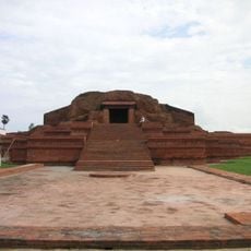
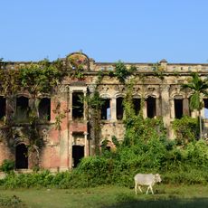
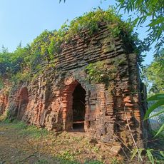
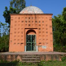
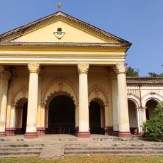
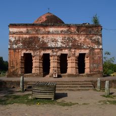
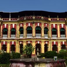
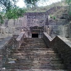
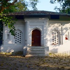
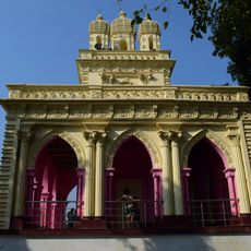
Katihar district, Administrative district in northeastern Bihar, India

Katihar is an administrative district in northeastern Bihar bounded by the Mahananda, Ganges, Koshi, and Righa rivers. The flat plains created by these waterways support intensive agriculture and form the backbone of the region's economy.

The district was created in 1973 when it separated from Purnia and established its own administrative structure. This reorganization marked a shift in how the region was governed and developed.

The district is home to Hindu and Muslim communities who speak Surjapuri, Hindi, Bengali, Urdu, Santali, and Bhojpuri in their daily lives. This linguistic diversity reflects the layered history of settlement and trade that shaped the region over centuries.

Katihar Junction is a major railway station on the Barauni-Guwahati line that connects to various destinations in northeastern India. This rail link makes the district accessible for visitors traveling to and from nearby regions.

The district was once Bihar's jute capital with two major mills before shifting toward becoming the state's largest maize producer. This agricultural transformation shows how local farming adapted to changing markets and opportunities.

The community of curious travelers

AroundUs brings together thousands of curated places, local tips, and hidden gems, enriched daily by 60,000 contributors worldwide.

Start exploring
Location
Capital city
Katihar
Shares border with
Purnia district, Malda district, Sahebganj district
GPS coordinates
25.55000,87.57000
Latest update
December 20, 2025 12:17
Reviews
Share your experience

No review yet

Discussions
Start a discussion...

No discussion yet

« Katihar district - Administrative district in northeastern Bihar, India » is provided by Around Us (aroundus.com). Images and texts are derived from Wikimedia project under a Creative Commons license. You are allowed to copy, distribute, and modify copies of this page, under the conditions set by the license, as long as this note is clearly visible.

Discover hidden gems everywhere you go!

From secret cafés to breathtaking viewpoints, skip the crowded tourist spots and find places that match your style. Our app makes it easy with voice search, smart filtering, route optimization, and insider tips from travelers worldwide. Download now for the complete mobile experience.

Around Us App Screenshot

A unique approach to discovering new places

Le Figaro

All the places worth exploring

France Info

A tailor-made excursion in just a few clicks

20 Minutes

Around Us
Travel Guide & Maps
Download

Send to your phone

QR Code
1

Open the camera app on your mobile.

2

Point at the QR code with your camera. A notification will appear.

3

Tap the notification to open the link.