Bhandara, human settlement
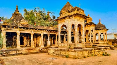
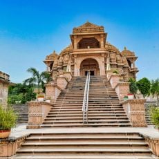
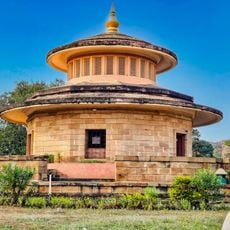
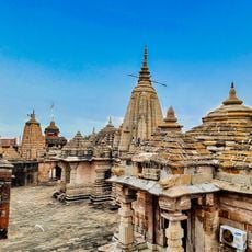
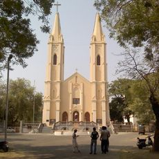
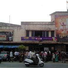
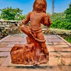
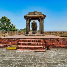
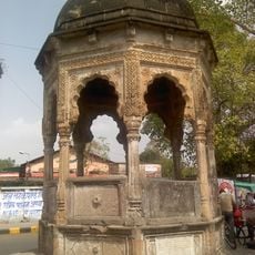
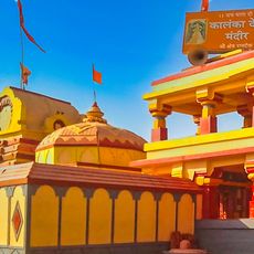
Bhandara is a town in the Bhandara district of Maharashtra, known for its agriculture and brass craftsmanship. The settlement features simple brick buildings, local markets selling fresh produce, open courtyards, temples, and schools that serve the community.
The town grew as a settlement centered on brass craftsmanship and later became a major agricultural hub known for rice production. It received official recognition for development needs in 2006 and has since benefited from government programs to improve infrastructure and services.
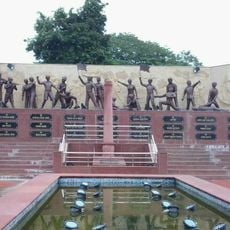
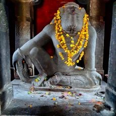
The town's name comes from brass work, an industry that has shaped local identity and the work of many craftspeople for generations. Festivals like Diwali and Ganesh Chaturthi are celebrated openly in streets and homes, reflecting the community's strong connection to religious traditions and shared customs.
The best way to explore the town is on foot through local markets and residential areas where daily life unfolds naturally. Early mornings are ideal for observing farmers at work and experiencing the quieter rhythm of the place.
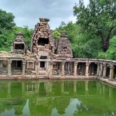
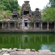
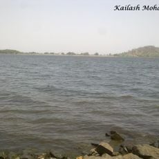
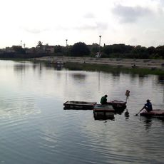
The district is known as the 'District of Lakes' due to more than 3500 small water bodies scattered across the landscape. This natural feature has quietly shaped the region's ecology and farming practices in ways that often go unnoticed by visitors.
The community of curious travelers
AroundUs brings together thousands of curated places, local tips, and hidden gems, enriched daily by 60,000 contributors worldwide.