Enable Location

We need your location to show you interesting places around you

Discover nearby places

Find interesting locations and hidden gems around you

Precise directions

Get accurate directions and distances to places

Your location is never shared with other users. It's only used when you tap the location button.

Log in to your account

Start exploring — it's free

Trusted by 62,499 travelers worldwide

Continue with Google
Continue with Apple
or

We will send you a code to connect

By continuing, you accept our Terms and Conditions and our Privacy Policy

Check your inbox

We've sent a pincode in your inbox. Please enter the code below.

Bardhaman district

Bardhaman district, Former administrative territorial entity in West Bengal, India

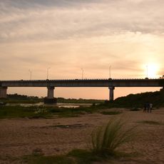
Bardhaman district was a former administrative area in West Bengal featuring varied terrain with rocky hills and fertile plains. Multiple rivers and waterways ran through the landscape, creating natural divisions across the region.

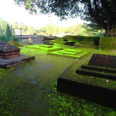
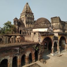
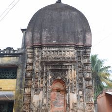
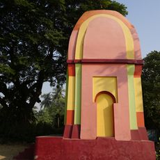
The district took its name from Mahavira Vardhamana, a revered Jain figure, with archaeological discoveries revealing ancient settlements from thousands of years ago. In recent times, administrative changes divided the area into two separate districts in 2017.

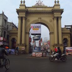
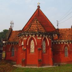
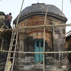
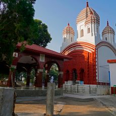
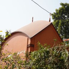
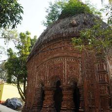
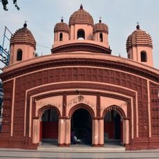
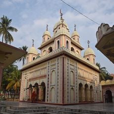
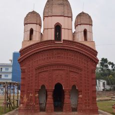
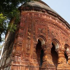
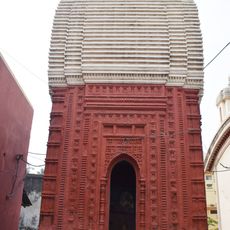
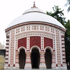
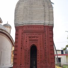
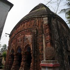
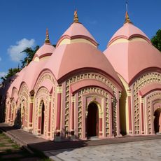
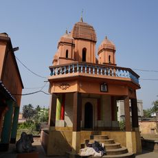
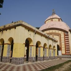
Bengali language and customs shape daily life across the region, with local artistic traditions and religious observances visible in communities. Visitors can observe how these practices remain woven into the rhythm of contemporary village and urban life.

The former district now exists as two separate administrative divisions as of 2017, which affects how the region is organized and governed today. Understanding this split helps visitors navigate the area and locate specific places they wish to visit.

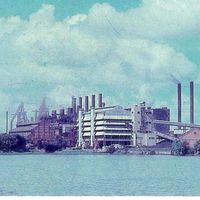
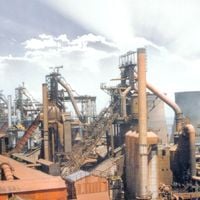
The Raniganj coalfield located here marked the beginning of India's coal industry, with mining operations that shaped the region's economic path. This mining legacy remains integral to understanding the area's development and industrial past.

The community of curious travelers

AroundUs brings together thousands of curated places, local tips, and hidden gems, enriched daily by 60,000 contributors worldwide.

Start exploring
Location
Capital city
Bardhaman
Shares border with
Birbhum district, Murshidabad district, Nadia district, Hooghly district, Bankura district, Purulia district, Dhanbad district, Jamtara district
GPS coordinates
23.23833,87.86083
Latest update
December 17, 2025 08:02
« Bardhaman district - Former administrative territorial entity in West Bengal, India » is provided by Around Us (aroundus.com). Images and texts are derived from Wikimedia project under a Creative Commons license. You are allowed to copy, distribute, and modify copies of this page, under the conditions set by the license, as long as this note is clearly visible.

Discover hidden gems everywhere you go!

From secret cafés to breathtaking viewpoints, skip the crowded tourist spots and find places that match your style. Our app makes it easy with voice search, smart filtering, route optimization, and insider tips from travelers worldwide. Download now for the complete mobile experience.

Around Us App Screenshot

A unique approach to discovering new places

Le Figaro

All the places worth exploring

France Info

A tailor-made excursion in just a few clicks

20 Minutes

Around Us
Travel Guide & Maps
Download

Send to your phone

QR Code
1

Open the camera app on your mobile.

2

Point at the QR code with your camera. A notification will appear.

3

Tap the notification to open the link.