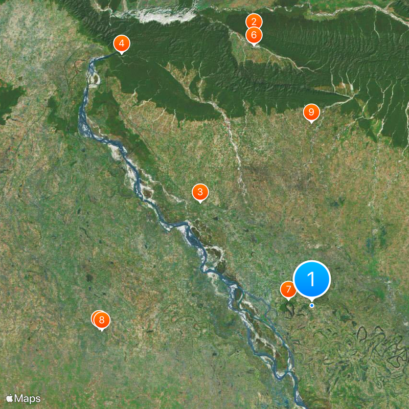
West Champaran district, Administrative district in Bihar, India.
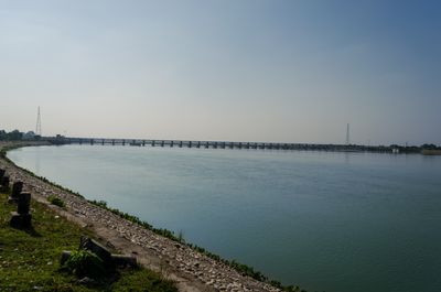
West Champaran is an administrative district in northwestern Bihar that covers a region of mixed plains and agricultural land. The district is divided into three main subdivisions centered around Bettiah, Bagaha, and Narkatiaganj, each with its own local governance structure.
The district became known worldwide in 1917 when the Champaran Satyagraha took place, a nonviolent protest against the colonial indigo plantation system. This movement marked a turning point in India's struggle for independence.
The people here speak Bhojpuri as their main language, and local celebrations follow the agricultural calendar throughout the year. These festivals bring communities together and reflect how farming shapes daily life and traditions.
The district headquarters at Bettiah connects to other major cities by train and road, making it the main entry point for visitors. Local government offices and blocks can provide directions and basic information about the area.
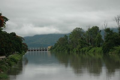
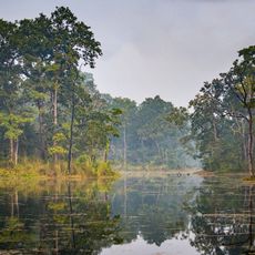
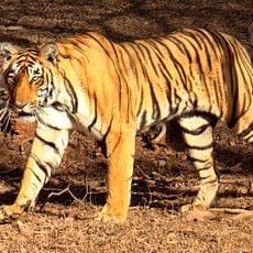
The district is home to Valmiki National Park, a protected forest that shelters Bengal tigers and many other animal species. This woodland area stands out as a natural refuge within the otherwise agricultural landscape.
Location: Tirhut division
Capital city: Bettiah
Shares border with: Maharajganj district, East Champaran District, Gopalganj district
Website: http://westchamparan.bih.nic.in
GPS coordinates: 26.80000,84.50000
Latest update: December 17, 2025 08:28
Chitwan National Park
79.7 km
Valmiki National Park
43.4 kmValmiki Ashram
90 km
Parinirvana Stupa
61.2 kmParsa National Park
76 kmUdaypur Wildlife Sanctuary
6.9 kmWat Thai Kusinara Chalermraj
60.5 kmRampurva
52.3 km
Lauria Nandangarh Ashoka Pillar
23.9 kmNandangarh Stupa and Rampart
23.3 kmRampurwa Ashoka Pillars
52.3 kmChanki Fort
38.4 kmLarge flat-topped mound of ruins called Jharmatiya
41.5 kmPakri burial mounds
24.3 kmMarhia burial mounds
22.5 kmDih or mound apparently the remains of a Buddhist stupa
63.5 kmLarge dih or mound
47.4 kmLauriya Nandangarh mounds
24 kmCircular shaped mound and the remains of a stupa
47.9 kmChaunr Tank
48.6 kmKuchiā Tank
43.2 kmMound of Brick ruins called Asmanpur dih
49.5 kmChakdāhwā Tank
37.8 kmBhitiharwa (Champaran) Gandhi Ashram
48.8 km9RD, Tirhut Canal
89.4 kmRaaj Darbaar
52.7 kmMahalbari chowk
96.4 kmKrishna Dahal
72.4 kmVisited this place? Tap the stars to rate it and share your experience / photos with the community! Try now! You can cancel it anytime.
Discover hidden gems everywhere you go!
From secret cafés to breathtaking viewpoints, skip the crowded tourist spots and find places that match your style. Our app makes it easy with voice search, smart filtering, route optimization, and insider tips from travelers worldwide. Download now for the complete mobile experience.
A unique approach to discovering new places❞
— Le Figaro
All the places worth exploring❞
— France Info
A tailor-made excursion in just a few clicks❞
— 20 Minutes