Jalpaiguri district, Administrative district in West Bengal, India
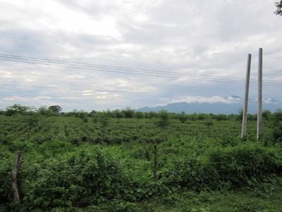
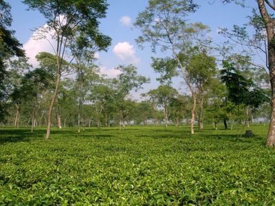
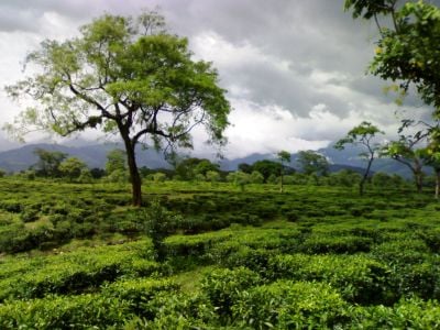
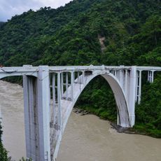
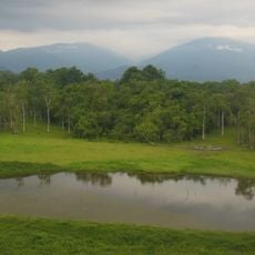
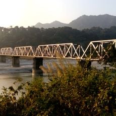
Jalpaiguri is an administrative district that sits at the foothills of the Himalayas with rolling terrain and dense vegetation. It shares borders with Bhutan to the northeast and Bangladesh to the south, creating a region marked by geographical diversity and mountain influence.
This region was once part of the kingdoms of Kamarupa and Kamata before British control took hold in the mid-1800s. The formal establishment as an administrative district came in 1869, marking the start of its modern governance structure.
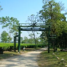
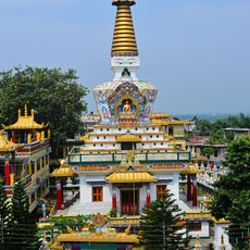
Bengali, Nepali, and tribal communities live here, and their traditions shape daily routines and celebrations. Tea gardens are woven into local life and form the foundation of many people's livelihoods.
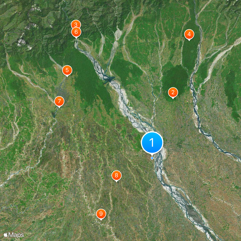
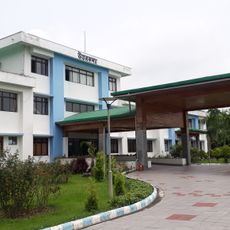
The region is organized into administrative subdivisions, each with basic services like schools, hospitals, and banks available to residents and visitors. The mountainous terrain means travel between areas can take time, so planning your movement is helpful.
The name comes from 'Jalpai,' referring to olive trees that once grew abundantly here, combined with 'guri,' meaning place in the local language. This naming tells a small story about the region's former plant life and ancient language roots.
Location: Jalpaiguri division
Capital city: Jalpaiguri
Shares border with: Darjeeling district, Kalimpong district, Alipurduar district, Cooch Behar district, Samtse District, Chukha District, Nilphamari District, Panchagarh District
Website: http://jalpaiguri.gov.in
GPS coordinates: 26.52000,88.73000
Latest update: December 17, 2025 09:02
Gorumara National Park
21.2 km
Coronation Bridge
49.7 km
Chapramari Wildlife Sanctuary
41.4 km
Tashi Gomang Shedra Buddhist Monastery
39.5 kmSevoke Railway Bridge
47.5 km
Uttar Kanya
35.5 km
Bhitagarh
14.3 km
Panchagarh Rocks Museum
26.8 kmGhorāmāra
49.2 km
Teesta Railway Bridge
47.5 km
Siliguri head post office
36.7 kmTeesta Railway Bridge
5.7 km
Jalpaiguri rajbati
2.5 kmDreamland Amusement Park
36.5 kmDipti Talkies
1.2 kmGajoldoba View Point
29.4 kmColonial clocktower
38.8 kmLarge statue of a Hindu god
38.9 kmCanyon
48.5 kmRiver Canyon
48.4 kmRocks Museum
26.8 kmRabindranath Tagore
588 mDwijendralal Roy
37.5 kmRay Saheb Thakur Panchanan Barma
37 kmBinoy-Badol-Dinesh
37.4 kmPranavananda Maharaj
35.8 kmB R Ambedkar
216 mJalpaiguri Rajbari Palace
2.4 kmVisited this place? Tap the stars to rate it and share your experience / photos with the community! Try now! You can cancel it anytime.
Discover hidden gems everywhere you go!
From secret cafés to breathtaking viewpoints, skip the crowded tourist spots and find places that match your style. Our app makes it easy with voice search, smart filtering, route optimization, and insider tips from travelers worldwide. Download now for the complete mobile experience.
A unique approach to discovering new places❞
— Le Figaro
All the places worth exploring❞
— France Info
A tailor-made excursion in just a few clicks❞
— 20 Minutes