Enable Location

We need your location to show you interesting places around you

Discover nearby places

Find interesting locations and hidden gems around you

Precise directions

Get accurate directions and distances to places

Your location is never shared with other users. It's only used when you tap the location button.

Purulia district

Log in to your account

Start exploring — it's free

Trusted by 62,536 travelers worldwide

Continue with Google
Continue with Apple
or

We will send you a code to connect

By continuing, you accept our Terms and Conditions and our Privacy Policy

Check your inbox

We've sent a pincode in your inbox. Please enter the code below.

Purulia district

Purulia district, Administrative district in West Bengal, India

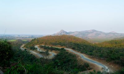
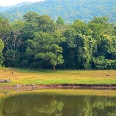
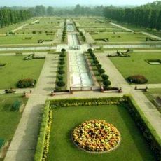
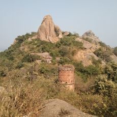
Purulia district is an administrative area in the state of West Bengal and consists of several subdivisions marked by hilly terrain, wide forests, and scattered rural settlements. The area borders Jharkhand to the north and Bankura to the south, providing connections between different regions of eastern India.

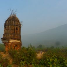
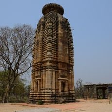
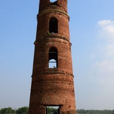
The area was organized as Jungle Mahals under British rule in 1805 to govern the forested regions west of Calcutta. In 1956, the former Manbhum region was divided, forming the present district, with one part going to Bihar while the western portion remained with West Bengal.

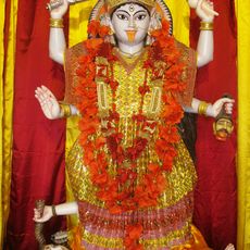
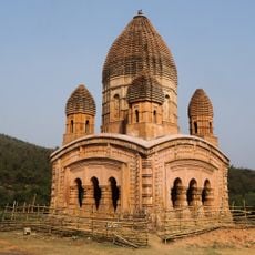
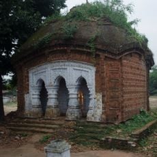
The area is known for its mask dances, where performers in costume retell stories from old epics and pass this art down through generations. On market days, members of different communities gather to sell terracotta figures, handwoven cloth, and baskets made from palm leaves following traditional patterns.

Visitors planning to tour the district should consider the months after the monsoon, when roads are more passable and rivers have settled after the rains. The headquarters offers bus connections in several directions and sits midway between larger towns in Jharkhand and southern West Bengal.

The district lies on the western edge of the Bengali cultural sphere and thus forms a transition zone where linguistic and culinary influences from three neighboring states meet. This location ensures that at local festivals several languages are often heard and dishes appear on the table that combine elements from different kitchens.

The community of curious travelers

AroundUs brings together thousands of curated places, local tips, and hidden gems, enriched daily by 60,000 contributors worldwide.

Start exploring
Capital city
Purulia
Shares border with
Dhanbad district, Bankura district, Paschim Bardhaman district, Jhargram district, Bokaro district, Ramgarh district, Ranchi district, Seraikela Kharsawan district, East Singhbhum district
GPS coordinates
23.33333,86.36667
Latest update
December 13, 2025 16:13
« Purulia district - Administrative district in West Bengal, India » is provided by Around Us (aroundus.com). Images and texts are derived from Wikimedia project under a Creative Commons license. You are allowed to copy, distribute, and modify copies of this page, under the conditions set by the license, as long as this note is clearly visible.

Discover hidden gems everywhere you go!

From secret cafés to breathtaking viewpoints, skip the crowded tourist spots and find places that match your style. Our app makes it easy with voice search, smart filtering, route optimization, and insider tips from travelers worldwide. Download now for the complete mobile experience.

Around Us App Screenshot

A unique approach to discovering new places

Le Figaro

All the places worth exploring

France Info

A tailor-made excursion in just a few clicks

20 Minutes

Around Us
Travel Guide & Maps
Download

Send to your phone

QR Code
1

Open the camera app on your mobile.

2

Point at the QR code with your camera. A notification will appear.

3

Tap the notification to open the link.