Enable Location

We need your location to show you interesting places around you

Discover nearby places

Find interesting locations and hidden gems around you

Precise directions

Get accurate directions and distances to places

Your location is never shared with other users. It's only used when you tap the location button.

Chhindwara district

Log in to your account

Start exploring — it's free

Trusted by 62,572 travelers worldwide

Continue with Google
Continue with Apple
or

We will send you a code to connect

By continuing, you accept our Terms and Conditions and our Privacy Policy

Check your inbox

We've sent a pincode in your inbox. Please enter the code below.

Chhindwara district

Chhindwara district, Administrative district in Jabalpur division, India

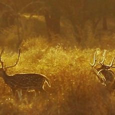
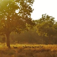
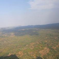
Chhindwara district spreads across the Satpura Range with varied terrain ranging from flatlands to elevated areas. The landscape contains significant coal resources and is shaped by numerous rivers that flow through the region.

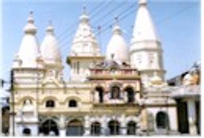
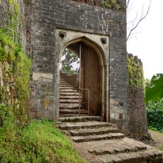
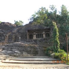
The area passed through various rulers including the Vakataka, Gaulis, and Rashtrakutas over centuries before the Gond dynasty took control in the 14th century. This shifting rule introduced different cultural layers to the region.

Multiple tribal communities shape daily life with their customs and languages, where Hindi coexists with Gondi and Korku speakers throughout the region. These groups maintain their own traditions that visitors can observe in villages and local practices.

The district headquarters town of Chhindwara provides administrative services, schools, and medical facilities well-connected by road and rail. The best time to visit is after the monsoon season when roads are fully passable.

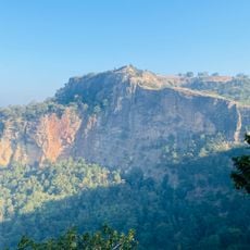
The Patalkot Valley within the district shelters 12 remote villages tucked into deep depressions, where inhabitants preserve traditional farming methods and knowledge of medicinal plants. This hidden location feels like an island apart from the modern world.

The community of curious travelers

AroundUs brings together thousands of curated places, local tips, and hidden gems, enriched daily by 60,000 contributors worldwide.

Start exploring
Capital city
Chhindwara
Shares border with
Narmadapuram district, Seoni district
GPS coordinates
22.06000,78.94000
Latest update
December 20, 2025 02:02
« Chhindwara district - Administrative district in Jabalpur division, India » is provided by Around Us (aroundus.com). Images and texts are derived from Wikimedia project under a Creative Commons license. You are allowed to copy, distribute, and modify copies of this page, under the conditions set by the license, as long as this note is clearly visible.

Discover hidden gems everywhere you go!

From secret cafés to breathtaking viewpoints, skip the crowded tourist spots and find places that match your style. Our app makes it easy with voice search, smart filtering, route optimization, and insider tips from travelers worldwide. Download now for the complete mobile experience.

Around Us App Screenshot

A unique approach to discovering new places

Le Figaro

All the places worth exploring

France Info

A tailor-made excursion in just a few clicks

20 Minutes

Around Us
Travel Guide & Maps
Download

Send to your phone

QR Code
1

Open the camera app on your mobile.

2

Point at the QR code with your camera. A notification will appear.

3

Tap the notification to open the link.