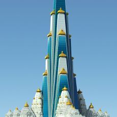
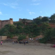
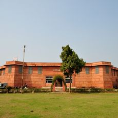
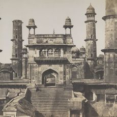
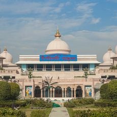
Mathura district, Administrative district in Uttar Pradesh, India
Description
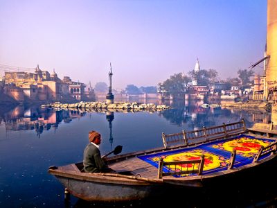
Mathura district is an administrative region in Uttar Pradesh that stretches along the Yamuna River, connecting agricultural villages and towns across northern India. The area is divided into several subdivisions and reaches down to village level through local governance networks.
History
The district was established in 1832 during British rule as an administrative territory and took its current form through several reorganizations over the following centuries. Boundaries and structure were adjusted multiple times to match changing administrative needs.
Culture
The district contains six administrative subdivisions that preserve traditional governance systems through 690 Gram Panchayats, maintaining local customs and community decisions.
Practical
The region is best explored by local buses or cars since settlements are spread across a wide area. Visitors should seek out local markets in the main towns to get a feel for everyday life.
Did you know?
Located at 184 meters above sea level, the district houses the Mathura Refinery, which ranks among the largest petroleum processing facilities in Asia.
AroundUs brings together thousands of curated places, local tips, and hidden gems, enriched daily by 60,000 contributors worldwide. Discover all places nearby (Agra division).
Prem Mandir
9.2 km
Krishna Janmasthan Temple Complex
1.6 km
Vrindavan Chandrodaya Mandir
9.2 km
Shri Krishna Janmabhoomi
1.7 kmDwarkadheesh temple Mathura
2.2 km
Kans Quila
2.3 km
Government Museum, Mathura
1.1 km
Jama Mosque
2.1 km
Rangeeli Mahal Barsana
9.2 km
Gokul barrage
6.9 km
Tiruvaaippadi
6.4 km
Mulawarman Inscriptions
3.1 km
Tomb of Raskhan
8.6 kmSati Burz, supposed to commemorate the Sati of the widow of Raja Biharmal of Jaipur erected by her son Raja Bhagwandas in A.D. 1570
2.3 kmSite of ancient Pokhar (Pushkarini)
4.4 kmChamunda Tila
3.3 kmGirdharpur mound
3.2 kmPalikhera Mound
6.1 kmKankali Tila, Jain and Chaubara Mound
642 mGopal Khera
252 mMound
4.7 kmKos Minar, Mile 3, Furlong 5.175 from the boundary
5.3 kmKos Minar in the beginning of Dig road
1.2 kmExtensive site containing a high mound apparently a fort with ramparts and corner turrets
7.6 kmAncient Mound (Hathi Tila ) near Kishori Raman college
1.2 kmAncient site
4.5 kmDoesn't Exist --->
8.8 kmPotrakund
1.6 kmDiscover hidden gems everywhere you go!
From secret cafés to breathtaking viewpoints, skip the crowded tourist spots and find places that match your style. Our app makes it easy with voice search, smart filtering, route optimization, and insider tips from travelers worldwide. Download now for the complete mobile experience.
A unique approach to discovering new places❞
— Le Figaro
All the places worth exploring❞
— France Info
A tailor-made excursion in just a few clicks❞
— 20 Minutes