Santipur, municipality city in West Bengal, India
Santipur is a city in Nadia district of West Bengal known for its handloom weaving and traditional crafts. Its streets are lined with local shops where skilled weavers produce and sell colorful sarees and fabrics using time-honored techniques.
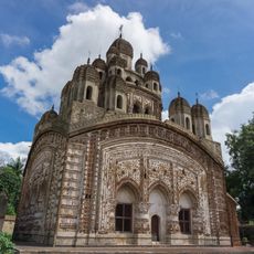
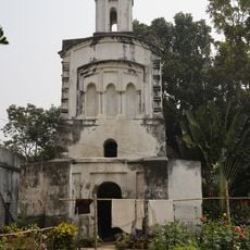
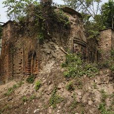
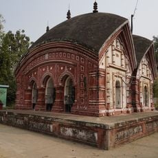
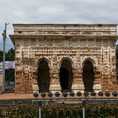
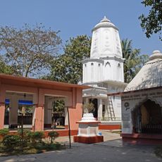
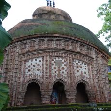
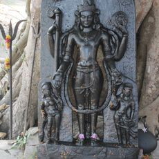
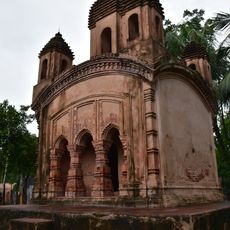
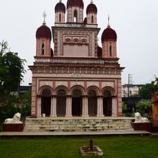
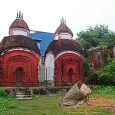
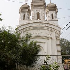
The town has roots stretching back many centuries and was once connected to the kingdom of Nadia. Its spiritual history is linked to Mathuresh Goswami and the legacy of Chaitanya Mahaprabhu, which shaped the town's identity and religious traditions.
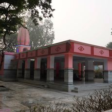
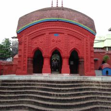
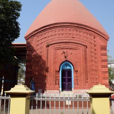
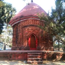
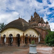
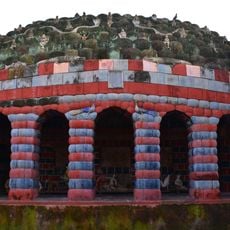
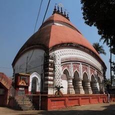
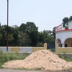
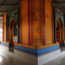
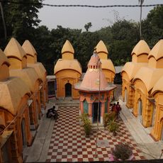
The town is deeply tied to religious festivals like Ras Utsav and Dol Utsav, which have been celebrated here for generations and shape community life. Temples serve as gathering places where residents come together to observe rituals and maintain their spiritual customs.
The town is best explored on foot or by rickshaw, as many streets are narrow and wind through local markets and residential areas. Early mornings offer the best time to walk through and observe daily routines before the streets fill with activity.
After India's partition, many displaced weavers from Dhaka settled here and strengthened the local weaving tradition. This migration enriched the town's craft culture and established it as a significant center for traditional textile production.
The community of curious travelers
AroundUs brings together thousands of curated places, local tips, and hidden gems, enriched daily by 60,000 contributors worldwide.