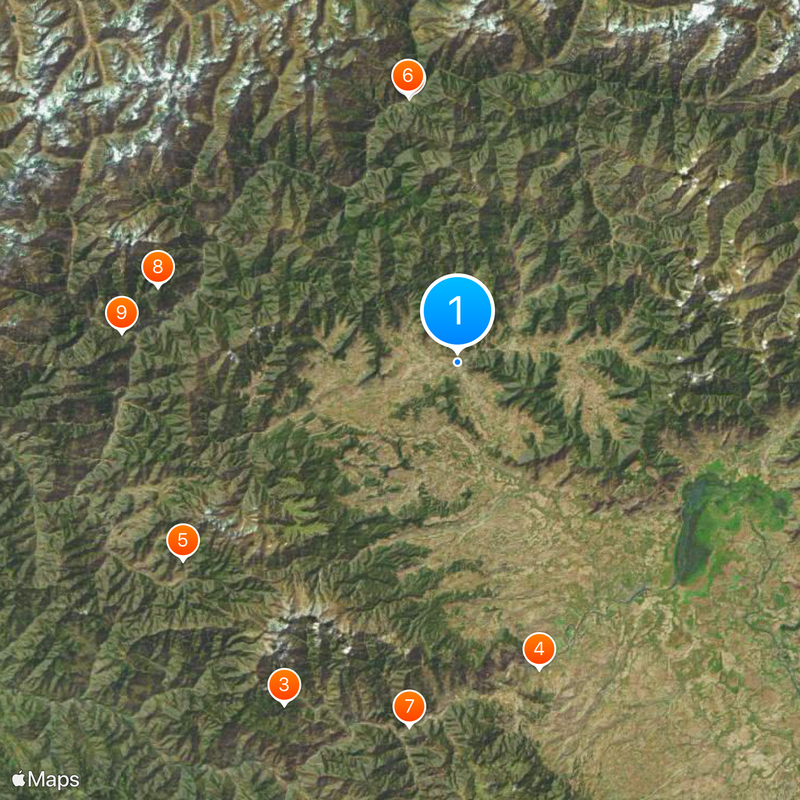
Kupwara district, Administrative district in Kashmir Valley, India.
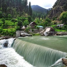
Kupwara district sits in Kashmir between the Pir Panjal and Shams Bari mountain ranges, with roughly three-quarters of its land covered by conifer forests. The terrain is rolling and green, with streams flowing through valleys and woodlands that create a heavily forested landscape.
The area became a separate district in 1979 after splitting from Baramulla district. This administrative change responded to the region's need for local governance and better distribution of services across the Kashmir Valley.
Residents speak Kashmiri as their main language, with many families maintaining traditional crafts like weaving and wood carving visible in homes and local markets. These handmade goods shape the appearance of villages and reflect skills passed down through generations.
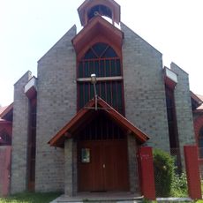
The district connects to Srinagar via National Highway 701, with the nearest major airport located about 87 kilometers away. Visitors should expect winding mountain roads and allow extra time for travel to and from the region.
The region is known for walnut cultivation, producing around 50,000 tonnes annually and serving as the largest walnut supplier in Kashmir. This significant harvest shapes the local economy and farming practices across villages.
The community of curious travelers
AroundUs brings together thousands of curated places, local tips, and hidden gems, enriched daily by 60,000 contributors worldwide.