Enable Location

We need your location to show you interesting places around you

Discover nearby places

Find interesting locations and hidden gems around you

Precise directions

Get accurate directions and distances to places

Your location is never shared with other users. It's only used when you tap the location button.

Log in to your account

Start exploring — it's free

Trusted by 63,171 travelers worldwide

Continue with Google
Continue with Apple
or

We will send you a code to connect

By continuing, you accept our Terms and Conditions and our Privacy Policy

Check your inbox

We've sent a pincode in your inbox. Please enter the code below.

Discussion Reviews Photo
20.8k Popularity

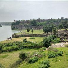
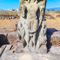
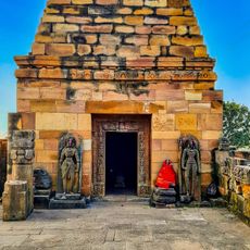
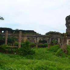
Garhwa district, Administrative district in Palamu division, India

Garhwa is an administrative district in southwestern Jharkhand, with the Sone River forming its northern boundary. It is divided into 20 blocks across three subdivisions and contains around 900 villages.

The area became an independent district in 1991 when it separated from the original Palamau district. This division created a new administrative structure for the region.

The region is home to people who speak Hindi, Magahi, Bhojpuri, Sadri, and Urdu in their daily lives. This mix of languages shapes how different communities interact and share their spaces.

The district is organized into blocks that manage different villages and are governed through a local Panchayat system. The size of the area means travel between different parts can take considerable time.

The government designated this district as one of the most economically backward areas in the country, making it eligible for special development support. This classification highlights the focus on bringing better infrastructure and economic opportunities to the region.

The community of curious travelers

AroundUs brings together thousands of curated places, local tips, and hidden gems, enriched daily by 60,000 contributors worldwide.

Start exploring
Location
Capital city
Garhwa
Shares border with
Sonbhadra district, Latehar district
GPS coordinates
24.17000,83.81000
Latest update
December 22, 2025 12:17
Reviews
Share your experience

No review yet

Discussions
Start a discussion...

No discussion yet

« Garhwa district - Administrative district in Palamu division, India » is provided by Around Us (aroundus.com). Images and texts are derived from Wikimedia project under a Creative Commons license. You are allowed to copy, distribute, and modify copies of this page, under the conditions set by the license, as long as this note is clearly visible.

Discover hidden gems everywhere you go!

From secret cafés to breathtaking viewpoints, skip the crowded tourist spots and find places that match your style. Our app makes it easy with voice search, smart filtering, route optimization, and insider tips from travelers worldwide. Download now for the complete mobile experience.

Around Us App Screenshot

A unique approach to discovering new places

Le Figaro

All the places worth exploring

France Info

A tailor-made excursion in just a few clicks

20 Minutes

Around Us
Travel Guide & Maps
Download

Send to your phone

QR Code
1

Open the camera app on your mobile.

2

Point at the QR code with your camera. A notification will appear.

3

Tap the notification to open the link.