Cauvery Wildlife Sanctuary, Wildlife sanctuary along Cauvery River in Karnataka, India
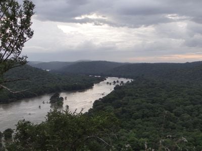
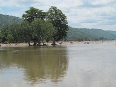
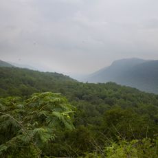
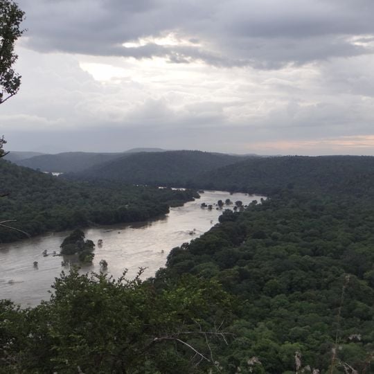
Cauvery Wildlife Sanctuary is a 1,027.53 km² protected area in the Mandya, Chamarajanagar and Bengaluru South districts of Karnataka, established on 14 January 1987. The Cauvery River runs through it for 101 km, forming a 73 km interstate boundary with Tamil Nadu. Its dry deciduous and riverine forests of Terminalia arjuna and jambul stand between hills rising to Ponnachi Betta at 1,514 m.
The sanctuary was established in 1987 to protect the natural habitats and wildlife populations along the Cauvery River. This zone emerged from growing recognition of the need to safeguard riverine ecosystems and their inhabitants.
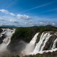
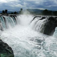
The sanctuary is named after the Cauvery, which flows through it for 101 km. Inside its bounds stands the Muthathi Anjaneya temple, a religious centre, and Hogenakal Falls, whose Kannada name means "smoking rock". Eight villages lie within the sanctuary and 30 more within 5 km, home to about 39,000 people living mainly by agriculture.
The sanctuary lies in the Mandya, Chamarajanagar and Ramanagara districts, with four wildlife ranges at Kanakapura, Hanur, Cowdally and MM Hills. A trench runs along the boundary to keep elephants out of neighbouring farmland. The climate is semi-arid, from 5 °C to 38 °C, with 750–800 mm of rain from both monsoons.
The sanctuary is one of the few places where the hump-backed mahseer, Tor remadevii, is found, in the Cauvery's river reach. Smooth-coated otters there were studied and found to favour riverine stretches of loosely packed sand and rock without compacted sand, gravel or plant cover. BirdLife International listed the area as an Important Bird Area in 2004.
The community of curious travelers
AroundUs brings together thousands of curated places, local tips, and hidden gems, enriched daily by 93,011 contributors worldwide.