Enable Location

We need your location to show you interesting places around you

Discover nearby places

Find interesting locations and hidden gems around you

Precise directions

Get accurate directions and distances to places

Your location is never shared with other users. It's only used when you tap the location button.

Log in to your account

Start exploring — it's free

Trusted by 62,525 travelers worldwide

Continue with Google
Continue with Apple
or

We will send you a code to connect

By continuing, you accept our Terms and Conditions and our Privacy Policy

Check your inbox

We've sent a pincode in your inbox. Please enter the code below.

Dantan II community development block

Dantan II community development block, Community development block in Kharagpur, India

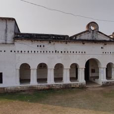
Dantan II is an administrative block in the Kharagpur region characterized by flat terrain with rice cultivation areas intersected by numerous waterways and tidal creeks. The area is supported by a network of schools, colleges, and medical facilities that provide basic services to residents.

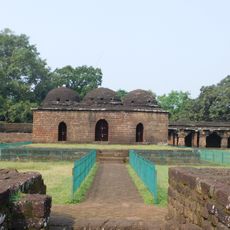
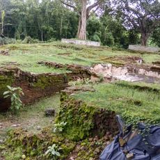
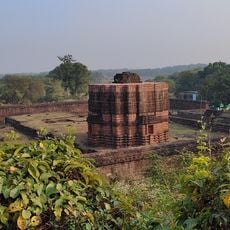
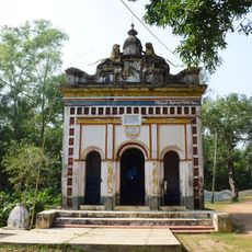
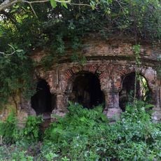
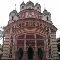
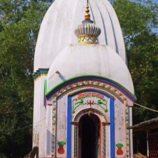
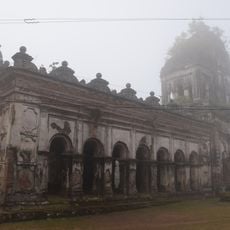
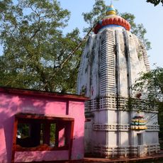
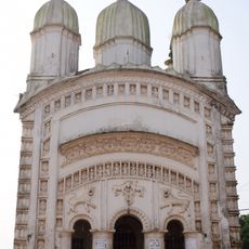
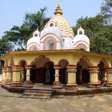
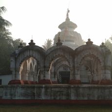
The region gained recognition through archaeological finds at Moghalmari, where remains of a Buddhist monastery from the 6th century were discovered. This discovery shows that the area was an early center of religious and cultural activity.

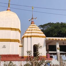
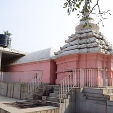
The population of 155,017 residents includes 82.53 percent Hindu and 17.06 percent Muslim communities, with Bengali and Santali as primary languages.

The area is easy to travel through, as it offers a dense network of roads and local transport connecting various settlements. Visitors should prepare for warm, humid weather and expect flooding during monsoon season.

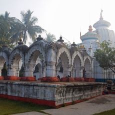
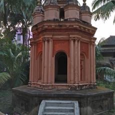
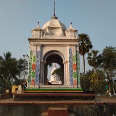
Two historical water reservoirs called Bidyadhar and Sarasankha tanks shape the landscape and were built by rulers in earlier times. The Bidyadhar tank is attributed to minister Pratap Rudra Deva, pointing to a long history of water management in the region.

The community of curious travelers

AroundUs brings together thousands of curated places, local tips, and hidden gems, enriched daily by 60,000 contributors worldwide.

Start exploring
Elevation above the sea
24 m
Shares border with
Egra I community development block, Patashpur II community development block, Patashpur I community development block, Narayangarh community development block, Dantan I community development block, Mohanpur community development block
GPS coordinates
21.89129,87.37564
Latest update
December 12, 2025 12:07
« Dantan II community development block - Community development block in Kharagpur, India » is provided by Around Us (aroundus.com). Images and texts are derived from Wikimedia project under a Creative Commons license. You are allowed to copy, distribute, and modify copies of this page, under the conditions set by the license, as long as this note is clearly visible.

Discover hidden gems everywhere you go!

From secret cafés to breathtaking viewpoints, skip the crowded tourist spots and find places that match your style. Our app makes it easy with voice search, smart filtering, route optimization, and insider tips from travelers worldwide. Download now for the complete mobile experience.

Around Us App Screenshot

A unique approach to discovering new places

Le Figaro

All the places worth exploring

France Info

A tailor-made excursion in just a few clicks

20 Minutes

Around Us
Travel Guide & Maps
Download

Send to your phone

QR Code
1

Open the camera app on your mobile.

2

Point at the QR code with your camera. A notification will appear.

3

Tap the notification to open the link.