Log in to your account

AroundUs is a community-driven map of interesting places, built by curious explorers like you. It grows with every review, story, and photo you share.
Connect to save your favorite spots, contribute locations, and create personalized routes.
Continue with Google
Continue with Apple
Continue with X
Continue with Facebook
Continue with email
By continuing, you accept our Terms and Conditions and our Privacy Policy
Create an account

Contai I community development block

Add to collection
Map
Suggest a change
Share

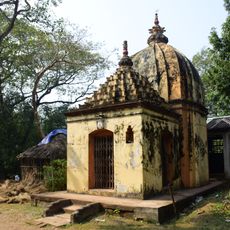
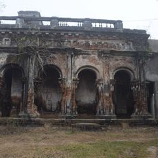
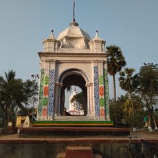
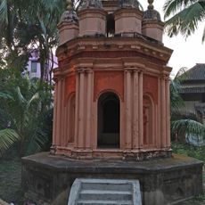
Contai I community development block, Community development block in Contai subdivision, West Bengal, India.

Contai I is an administrative unit that includes multiple villages spread across a low-lying coastal area in West Bengal. The block encompasses several rural settlements connected by local roads and organized under a single administrative center.

This administrative block was created as part of a national program that started in 1952 to strengthen rural communities across India. The establishment reflected efforts to improve local governance and support agricultural development in rural areas.

Local village councils shape how decisions are made and resources are shared among residents. These governance structures are where the community discusses and addresses everyday needs and development projects.

The area can be reached via local roads that connect the various villages and administrative center. During monsoon seasons, some paths may become difficult to navigate, so planning your visit for drier months is advisable.

A Block Development Officer oversees operations and works with technical specialists to design programs specifically suited to the area's agricultural needs. This tailored approach to rural development makes it worth understanding how grassroots administration adapts to local conditions.

Location: Contai subdivision

Elevation above the sea: 3 m

Shares border with: Ramnagar II community development block, Egra II community development block, Contai III community development block, Deshapran community development block

GPS coordinates: 21.74866,87.65296

Latest update: December 11, 2025 18:03

Photos
Reviews

Visited this place? Tap the stars to rate it and share your experience / photos with the community! Try now! You can cancel it anytime.

« Contai I community development block - Community development block in Contai subdivision, West Bengal, India » is provided by Around Us (aroundus.com). Images and texts are derived from Wikimedia project under a Creative Commons license. You are allowed to copy, distribute, and modify copies of this page, under the conditions set by the license, as long as this note is clearly visible.

Discover hidden gems everywhere you go!

From secret cafés to breathtaking viewpoints, skip the crowded tourist spots and find places that match your style. Our app makes it easy with voice search, smart filtering, route optimization, and insider tips from travelers worldwide. Download now for the complete mobile experience.

Around Us App Screenshot

A unique approach to discovering new places

Le Figaro

All the places worth exploring

France Info

A tailor-made excursion in just a few clicks

20 Minutes