Enable Location

We need your location to show you interesting places around you

Discover nearby places

Find interesting locations and hidden gems around you

Precise directions

Get accurate directions and distances to places

Your location is never shared with other users. It's only used when you tap the location button.

Log in to your account

Start exploring — it's free

Trusted by 62,563 travelers worldwide

Continue with Google
Continue with Apple
or

We will send you a code to connect

By continuing, you accept our Terms and Conditions and our Privacy Policy

Check your inbox

We've sent a pincode in your inbox. Please enter the code below.

Habra II community development block

Habra II community development block, Administrative block in Barasat Sadar subdivision, India

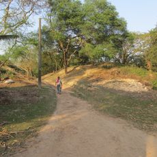
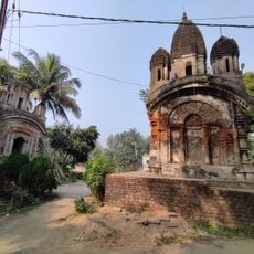
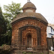
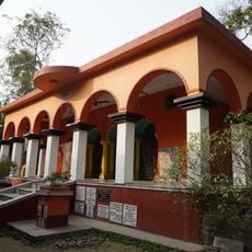
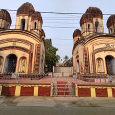
Habra II is an administrative block in North 24 Parganas district serving a rural region with multiple villages and hamlets. The area is characterized by agricultural land, scattered settlements, and basic infrastructure connecting the villages to local towns.

The region underwent administrative reorganization in the 1800s when it was incorporated into the 24 Parganas district. This change brought together areas that had belonged to different administrative territories before.

The population of 176,490 residents includes both Hindu and Muslim communities, who primarily communicate in Bengali and English throughout the region.

Most villages have electricity and clean water available to residents and visitors. A railway station and local bus services provide transportation options for getting around and reaching nearby towns.

The block is divided into eight separate panchayat administrative units, each with its own local governance structure. This decentralized system allows communities to manage their own affairs and development priorities.

The community of curious travelers

AroundUs brings together thousands of curated places, local tips, and hidden gems, enriched daily by 60,000 contributors worldwide.

Start exploring
Elevation above the sea
14 m
GPS coordinates
22.83000,88.63000
Latest update
December 12, 2025 07:53
« Habra II community development block - Administrative block in Barasat Sadar subdivision, India » is provided by Around Us (aroundus.com). Images and texts are derived from Wikimedia project under a Creative Commons license. You are allowed to copy, distribute, and modify copies of this page, under the conditions set by the license, as long as this note is clearly visible.

Discover hidden gems everywhere you go!

From secret cafés to breathtaking viewpoints, skip the crowded tourist spots and find places that match your style. Our app makes it easy with voice search, smart filtering, route optimization, and insider tips from travelers worldwide. Download now for the complete mobile experience.

Around Us App Screenshot

A unique approach to discovering new places

Le Figaro

All the places worth exploring

France Info

A tailor-made excursion in just a few clicks

20 Minutes

Around Us
Travel Guide & Maps
Download

Send to your phone

QR Code
1

Open the camera app on your mobile.

2

Point at the QR code with your camera. A notification will appear.

3

Tap the notification to open the link.