Kaliganj community development block, Administrative block in Krishnanagar Sadar subdivision, India.
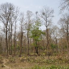
Kaliganj community development block is an administrative unit within the Krishnanagar Sadar subdivision of West Bengal, India. It is made up of many small villages spread across flat, low-lying land typical of the Bengal delta, crossed by rivers and rural roads.
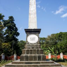
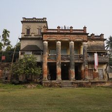
The area around Kaliganj gained historical weight when the Battle of Plassey was fought nearby in 1757, a confrontation that handed Bengal to British control and changed the course of the subcontinent. In the years that followed, the region became part of the administrative and agrarian landscape shaped by colonial rule.
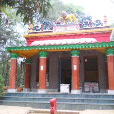
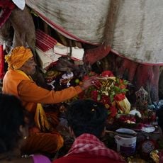
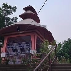
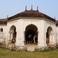
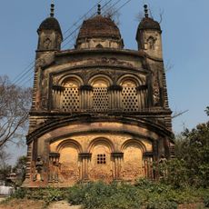
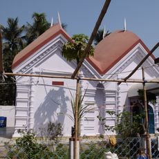
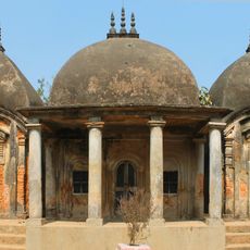
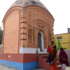
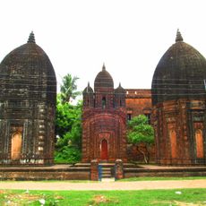
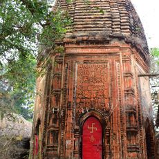
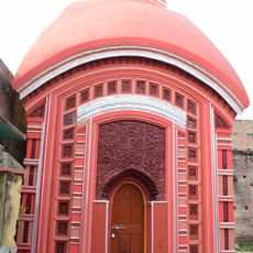
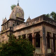
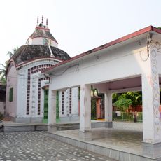
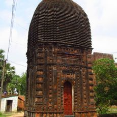
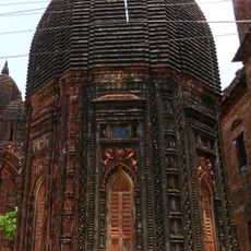
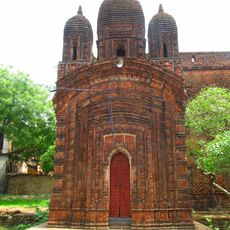
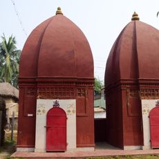
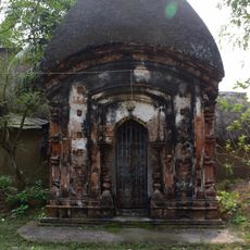
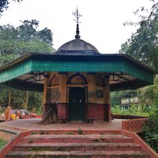
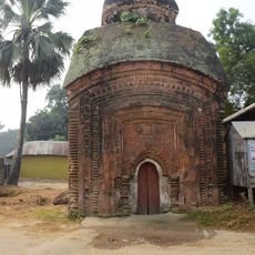
Walking through Kaliganj, you notice temples and mosques standing close to each other in the same villages, which reflects how Hindu and Muslim communities have long shared this space. Local markets and seasonal festivals bring both groups together in a way that feels ordinary and rooted in daily habit.
Krishnanagar, the nearest large town, serves as the main starting point for reaching this block, with local transport connecting the surrounding villages. Most villages have electricity and access to drinking water, so basic needs during a visit are generally covered.
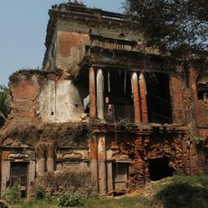
The area around Kaliganj is said to contain the ruins of Reuti Adisur, a settlement linked to early Bengali kings, pointing to a history much older than the colonial period most visitors associate with this region. This local layer of ancient past often goes unnoticed by those passing through.
The community of curious travelers
AroundUs brings together thousands of curated places, local tips, and hidden gems, enriched daily by 60,000 contributors worldwide.