Khejuri II community development block, Administrative block in Contai subdivision, India
Khejuri II is an administrative block in West Bengal's Purba Medinipur district, covering a flat terrain region. The block encompasses 97 villages, most of which have electricity connections and access to drinking water facilities through local systems.
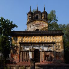
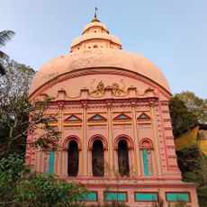
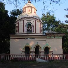
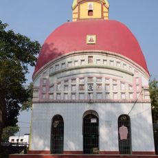
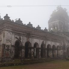
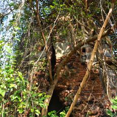
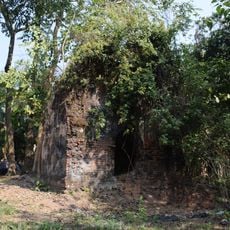
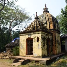
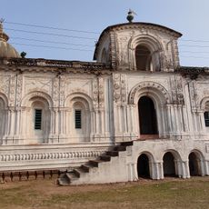
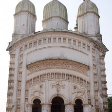
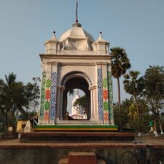
The area once served as an important port called Kedgeree, used by the East India Company until a devastating cyclone in 1864 destroyed much of the region. This disaster redirected the area's development and economic focus.
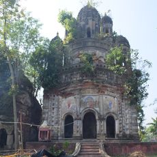
Bengali is the language spoken in daily life, and Hindu celebrations mixed with harvest festivals shape the community's calendar throughout the year. These occasions bring people together and show how closely tied residents are to farming and their traditions.
The region is straightforward to explore, with most villages having electricity connections and drinking water available. Visitors should note that the flat terrain makes travel easy, though during monsoon season some areas may become harder to reach.
A large portion of residents work in agriculture, growing rice and potatoes in the plains, which shapes local working life and economy. These farming practices have been central to the region for generations.
Location: Contai subdivision
Elevation above the sea: 4 m
Shares border with: Nandigram I community development block, Khejuri I community development block, Deshapran community development block
GPS coordinates: 21.85751,87.91155
Latest update: December 10, 2025 20:01
Kapil Muni Temple
29.7 kmDigha Gate
46.9 km
Contai High School
18.4 km
Hatania Doania Setu
35.1 km
Dariapur Lighthouse
8.9 km
Gopaljiu temple
37.1 km
Lakshmi Janardan temple
43.4 km
Atchala Shiva temple
44.2 km
Jagannath temple
13.6 km
Hatnagar Shiva Deul
38.9 km
Shyamsundar Pancharatna temple
33.6 km
Ramchandrajiu temple
32.8 km
Lokeshwar Shiva temple
45.3 km
Panchet Rajbari
37.9 km
Dakshina Kali temple
31.6 km
Radhabinod temple
47.5 km
Radha Gobinda temple
21.1 km
Radha Gokulananda temple
46.1 km
Shyamsundar Deul temple
33.7 km
Baikunthanath temple
44.4 km
Joydurga temple
44.2 km
Raghunath temple
45.7 km
Gouranga temple
47.5 km
Radhagobindajiu temple
47.3 km
Ramchandra temple
45.9 km
Pancheshwar Shiva temple
37.8 km
Shitala temple
38 km
Rasmancha of Radha Gokulananda temple
46.1 kmVisited this place? Tap the stars to rate it and share your experience / photos with the community! Try now! You can cancel it anytime.
Discover hidden gems everywhere you go!
From secret cafés to breathtaking viewpoints, skip the crowded tourist spots and find places that match your style. Our app makes it easy with voice search, smart filtering, route optimization, and insider tips from travelers worldwide. Download now for the complete mobile experience.
A unique approach to discovering new places❞
— Le Figaro
All the places worth exploring❞
— France Info
A tailor-made excursion in just a few clicks❞
— 20 Minutes