Khejuri I community development block, Administrative block in Contai subdivision, India
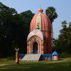
Khejuri I is a community development block within the Contai subdivision in West Bengal, India. It covers a flat, rural area made up of several villages where farming and fishing are the two main ways people earn a living.
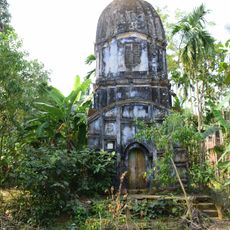
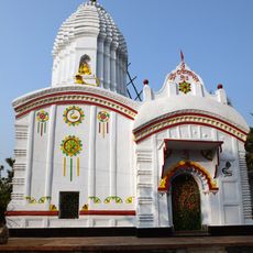
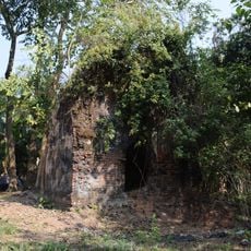
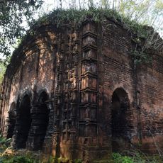
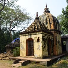
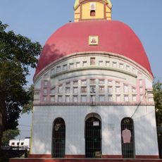
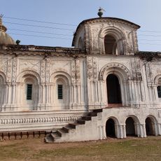
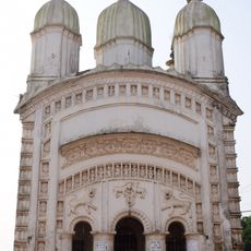
The area was a salt-producing center during the Nawab period, which made it economically important long before modern times. Under British rule it became a port settlement, and after independence it was organized into its current administrative form.
The population of 132,992 residents includes a Hindu majority of 91.11 percent and a Muslim population of 8.73 percent according to census data.
The block is reachable by bus routes and ferry services that connect it to nearby towns, so planning connections in advance is useful. Facilities on the ground are basic, with simple food and lodging available in the villages.
Aman paddy, a monsoon rice variety, dominates the farming year here and shapes the rhythm of life in the villages. Unlike many other rural areas, irrigation relies almost entirely on deep tube wells rather than canals.
The community of curious travelers
AroundUs brings together thousands of curated places, local tips, and hidden gems, enriched daily by 60,000 contributors worldwide.