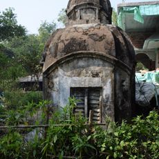
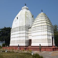
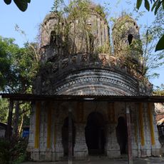
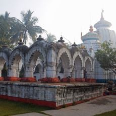
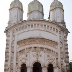
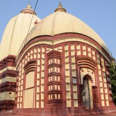
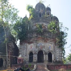
Nandigram I community development block, Administrative block in Haldia subdivision, India
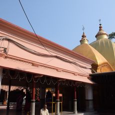
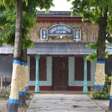
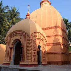
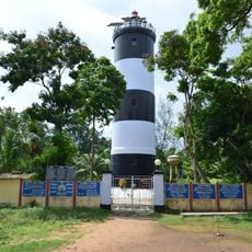
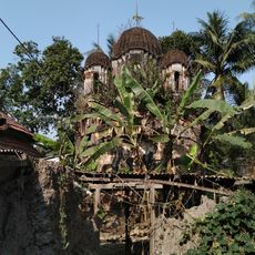
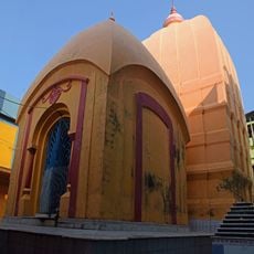
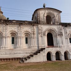
Nandigram I is an administrative block in Haldia subdivision covering about 181 square kilometers in Purba Medinipur district. The area is home to over 200,000 people and offers primary health centers, schools, and a specialty hospital for medical care.
The region took part in early independence movements, particularly through boycott campaigns starting in 1901 and the Salt March movement in 1930. These actions show a long history of resistance against colonial rule in this area.
Residents speak Bengali and follow agricultural traditions that shape everyday life and the local economy. Village councils organize community affairs and maintain the connection between rural and urban life.
The block is well-supplied with primary schools and health centers that support daily life for residents. Visitors should explore local roads and paths to understand the rural structure and how services are distributed.
In 2006, authorities planned a chemical industrial hub that sparked strong local resistance to the project. This conflict shows how communities actively defend their environment and way of life.
Location: Haldia subdivision
Elevation above the sea: 7 m
Shares border with: Sagar community development block, Haldia community development block, Nandigram II community development block, Khejuri I community development block, Khejuri II community development block
GPS coordinates: 22.00810,87.98370
Latest update: December 10, 2025 15:57
Kapil Muni Temple
42.4 km
Bargabhima temple
32 km
Contai High School
34.8 km
Hatania Doania Setu
37.8 km
Radhamadhab temple
32.9 km
Dariapur Lighthouse
27.2 km
Gopaljiu temple
19.6 km
Tamluk rajbati
32.9 km
Lakshmi Janardan temple
35.4 km
Atchala Shiva temple
37.7 km
Lakshmi-Janardan temple
38.4 km
Jagannath temple
27.7 km
Radha Krishna temple
41.1 km
Hatnagar Shiva Deul
47.5 km
Shyamsundar Pancharatna temple
28.8 km
Jishnu Hari temple
32.6 km
Ramchandrajiu temple
45.4 km
Lokeshwar Shiva temple
33.3 km
Panchet Rajbari
44.1 km
Radharaman temple
32.9 km
Shitala temple
44.2 km
Shyamsundar Deul temple
28.8 km
Baikunthanath temple
38 km
Radha Gobinda temple
23.1 km
Ramchandra temple
38.4 km
Ramchandra temple
41 km
Ramjiu temple
32.6 km
Pancheshwar Shiva temple
44.1 kmVisited this place? Tap the stars to rate it and share your experience / photos with the community! Try now! You can cancel it anytime.
Discover hidden gems everywhere you go!
From secret cafés to breathtaking viewpoints, skip the crowded tourist spots and find places that match your style. Our app makes it easy with voice search, smart filtering, route optimization, and insider tips from travelers worldwide. Download now for the complete mobile experience.
A unique approach to discovering new places❞
— Le Figaro
All the places worth exploring❞
— France Info
A tailor-made excursion in just a few clicks❞
— 20 Minutes