Log in to your account

AroundUs is a community-driven map of interesting places, built by curious explorers like you. It grows with every review, story, and photo you share.
Connect to save your favorite spots, contribute locations, and create personalized routes.
Continue with Google
Continue with Apple
Continue with X
Continue with Facebook
Continue with email
By continuing, you accept our Terms and Conditions and our Privacy Policy
Create an account

Moyna community development block

Add to collection
Map
Suggest a change
Share

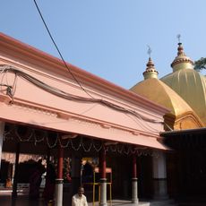
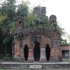
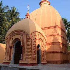
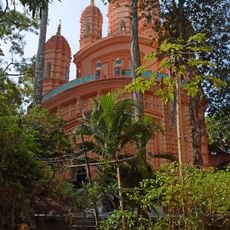
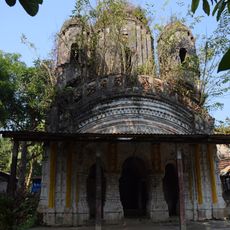
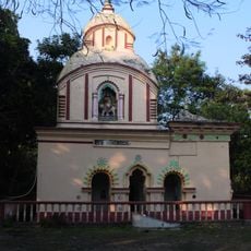
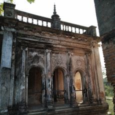
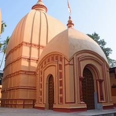
Moyna community development block, Administrative block in Tamluk subdivision, India.

Moyna is an administrative block in Purba Medinipur district with both urban and rural settlements spread across its territory. The area contains schools at multiple educational levels, ranging from primary institutions to secondary and higher secondary schools.

The area experienced measurable population changes between 1991 and 2001, with growth rates that remained below the district average during that period. This demographic pattern reflects broader development trends across the region.

Bengali is the language you hear in daily conversation throughout this area, spoken by the vast majority of residents in markets and public spaces. This shared language connects communities and shapes how people interact with one another.

Educational facilities are distributed across the area serving different age groups and scattered throughout urban and rural zones. Visitors should be aware that institutions may be located in varied settings, so planning ahead helps with navigation.

The local economy is shaped significantly by fish farming, with extensive pond cultivation covering large portions of agricultural land. This water-based livelihood forms a central part of daily economic activity and employment in the region.

Location: Tamluk subdivision

Elevation above the sea: 6 m

Shares border with: Pingla community development block, Sabang community development block, Bhagabanpur I community development block, Chandipur community development block, Nandakumar community development block, Tamluk community development block, Panskura community development block

GPS coordinates: 22.23333,87.78333

Latest update: December 10, 2025 20:06

Photos
Reviews

Visited this place? Tap the stars to rate it and share your experience / photos with the community! Try now! You can cancel it anytime.

« Moyna community development block - Administrative block in Tamluk subdivision, India » is provided by Around Us (aroundus.com). Images and texts are derived from Wikimedia project under a Creative Commons license. You are allowed to copy, distribute, and modify copies of this page, under the conditions set by the license, as long as this note is clearly visible.

Discover hidden gems everywhere you go!

From secret cafés to breathtaking viewpoints, skip the crowded tourist spots and find places that match your style. Our app makes it easy with voice search, smart filtering, route optimization, and insider tips from travelers worldwide. Download now for the complete mobile experience.

Around Us App Screenshot

A unique approach to discovering new places

Le Figaro

All the places worth exploring

France Info

A tailor-made excursion in just a few clicks

20 Minutes