Enable Location

We need your location to show you interesting places around you

Discover nearby places

Find interesting locations and hidden gems around you

Precise directions

Get accurate directions and distances to places

Your location is never shared with other users. It's only used when you tap the location button.

Log in to your account

Start exploring — it's free

Trusted by 65,512 travelers worldwide

Continue with Google
Continue with Apple
or

We will send you a code to connect

By continuing, you accept our Terms and Conditions and our Privacy Policy

Check your inbox

We've sent a pincode in your inbox. Please enter the code below.

Polba-Dadpur community development block
Discussion Reviews Photo
4.2k Popularity

Polba-Dadpur community development block, Community development block in Chinsurah Sadar subdivision, West Bengal, India.

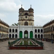
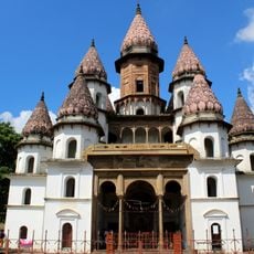
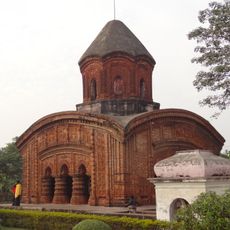
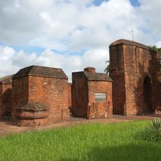
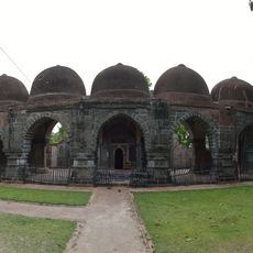
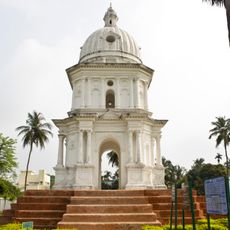
Polba-Dadpur is a community development block in Hooghly district, West Bengal, set within the flat alluvial land of the Gangetic Delta. It covers a large number of villages surrounded by rice fields, potato plots, and jute farmland, cut through by many small water channels.

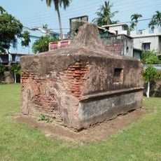
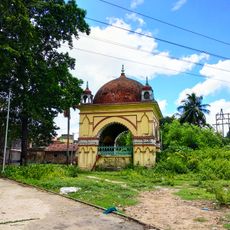
The area around Polba-Dadpur has long been part of the densely settled agricultural landscape of the Gangetic Delta, shaped over centuries by rice farming and river trade. The block was set up as an administrative unit after Indian independence to support rural development in this region.

The villages of this block are home to communities of different faiths who share markets, festivals, and daily routines. Local celebrations often take place in open village spaces and draw people from several surrounding settlements.

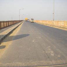
The block is accessible via the main roads of Hooghly district, and local tracks connect the villages, though some paths can be difficult after rain. Visiting in the dry season makes it easier to move between settlements and explore the farming areas on foot.

Polba-Dadpur achieved full electrification across all its villages, which is not a given for a rural area of this size in West Bengal. This network supports the schools and health posts scattered throughout the block, making basic services reachable even in remote settlements.

The community of curious travelers

AroundUs brings together thousands of curated places, local tips, and hidden gems, enriched daily by 60,000 contributors worldwide.

Start exploring
Elevation above the sea
15 m
Shares border with
Pandua community development block, Balagarh community development block, Chinsurah-Mogra community development block, Singur community development block, Haripal community development block, Dhaniakhali community development block
GPS coordinates
22.96000,88.30000
Latest update
March 3, 2026 08:11
Reviews
Share your experience

No review yet

Discussions
Start a discussion...

No discussion yet

« Polba-Dadpur community development block - Community development block in Chinsurah Sadar subdivision, West Bengal, India » is provided by Around Us (aroundus.com). Images and texts are derived from Wikimedia project under a Creative Commons license. You are allowed to copy, distribute, and modify copies of this page, under the conditions set by the license, as long as this note is clearly visible.

Discover hidden gems everywhere you go!

From secret cafés to breathtaking viewpoints, skip the crowded tourist spots and find places that match your style. Our app makes it easy with voice search, smart filtering, route optimization, and insider tips from travelers worldwide. Download now for the complete mobile experience.

Around Us App Screenshot

A unique approach to discovering new places

Le Figaro

All the places worth exploring

France Info

A tailor-made excursion in just a few clicks

20 Minutes

Around Us
Travel Guide & Maps
Download

Send to your phone

QR Code
1

Open the camera app on your mobile.

2

Point at the QR code with your camera. A notification will appear.

3

Tap the notification to open the link.