Enable Location

We need your location to show you interesting places around you

Discover nearby places

Find interesting locations and hidden gems around you

Precise directions

Get accurate directions and distances to places

Your location is never shared with other users. It's only used when you tap the location button.

Log in to your account

Start exploring — it's free

Trusted by 62,560 travelers worldwide

Continue with Google
Continue with Apple
or

We will send you a code to connect

By continuing, you accept our Terms and Conditions and our Privacy Policy

Check your inbox

We've sent a pincode in your inbox. Please enter the code below.

Sonamukhi community development block

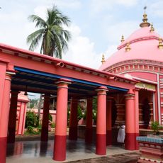
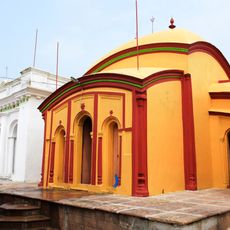
Sonamukhi community development block, Administrative division in Bishnupur subdivision, India

Sonamukhi is a community development block in Bishnupur subdivision within eastern Bankura district. The area is organized into multiple villages and settlements spread across rolling land, with a mix of agricultural fields and rural settlements.

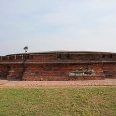
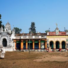
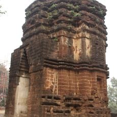
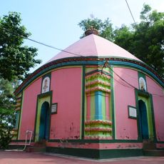
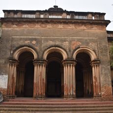
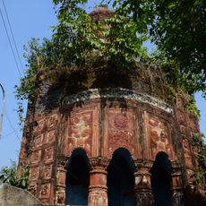
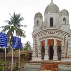
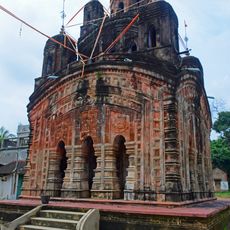
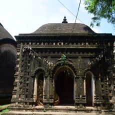
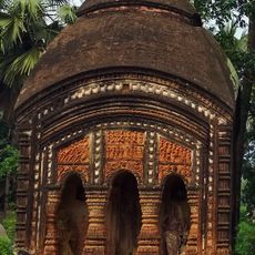
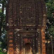
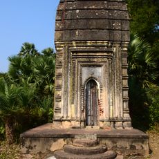
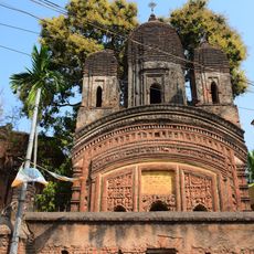
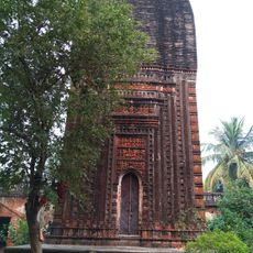
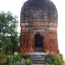
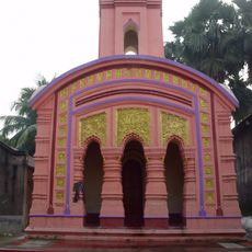
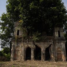
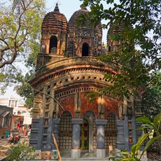
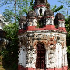
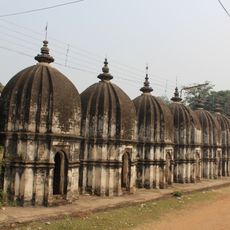
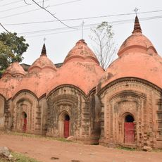
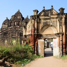
The region was ruled by the Hindu Rajas of Bishnupur from the 7th century until the late 17th century. British colonial administration subsequently reorganized the area under its governance system.

The population of 158,697 residents includes 43 percent Scheduled Castes and speaks Bengali, with Santali as a secondary language in the region.

The block is served by numerous schools and a local college providing educational facilities for residents. Visitors can navigate the rural landscape on foot or using local transport to explore the various villages and settlements.

The local economy is driven primarily by agricultural work, with farming activities centered on rice, wheat, and potato cultivation. Most of the workforce engages in these farming and related agricultural labor throughout the year.

The community of curious travelers

AroundUs brings together thousands of curated places, local tips, and hidden gems, enriched daily by 60,000 contributors worldwide.

Start exploring
Elevation above the sea
75 m
Shares border with
Barjora community development block, Onda community development block, Bishnupur community development block, Patrasayer community development block, Galsi I community development block, Kanksa community development block
GPS coordinates
23.30000,87.41667
Latest update
December 12, 2025 09:06
« Sonamukhi community development block - Administrative division in Bishnupur subdivision, India » is provided by Around Us (aroundus.com). Images and texts are derived from Wikimedia project under a Creative Commons license. You are allowed to copy, distribute, and modify copies of this page, under the conditions set by the license, as long as this note is clearly visible.

Discover hidden gems everywhere you go!

From secret cafés to breathtaking viewpoints, skip the crowded tourist spots and find places that match your style. Our app makes it easy with voice search, smart filtering, route optimization, and insider tips from travelers worldwide. Download now for the complete mobile experience.

Around Us App Screenshot

A unique approach to discovering new places

Le Figaro

All the places worth exploring

France Info

A tailor-made excursion in just a few clicks

20 Minutes

Around Us
Travel Guide & Maps
Download

Send to your phone

QR Code
1

Open the camera app on your mobile.

2

Point at the QR code with your camera. A notification will appear.

3

Tap the notification to open the link.