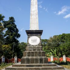
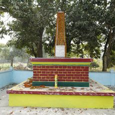
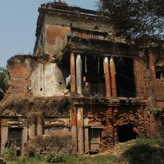
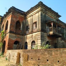
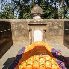
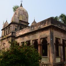
Tehatta II community development block, Administrative block in Tehatta subdivision, India.
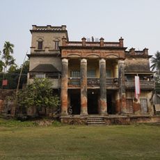
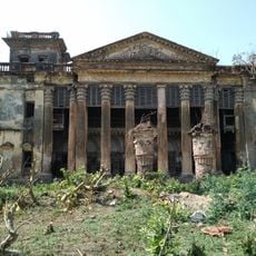
Tehatta II is an administrative block in Tehatta subdivision, West Bengal, comprising seven gram panchayats with Palashipara as its central administrative hub. The block covers a region with multiple villages and agricultural areas serving the local population.
The block was established as an administrative unit to support governance and development in this rural region. Over the decades, the population evolved and agricultural infrastructure expanded to serve the growing communities.
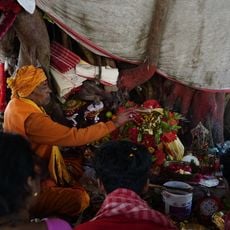
The population distribution shows an equal representation of Hindu and Muslim communities, with Bengali language serving as the primary medium of communication.
The region is equipped with several schools, including facilities like Choto Naldah High School and Barnia High School, serving local education needs. The rural layout means visitors should allow time to travel between the various villages and administrative centers.
The area is noted for rice cultivation, with substantial production of various rice varieties thriving in the region's fertile soils. Agricultural rhythms shape the seasonal cycles and daily patterns of work across local communities.
Location: Tehatta subdivision
Elevation above the sea: 13 m
GPS coordinates: 23.78330,88.45000
Latest update: December 12, 2025 07:59
Temple of Vedic Planetarium
40.4 km
Krishnath College
40.1 km
Bethuadahari Wildlife Sanctuary
21.5 km
Ballal Dhipi
37.6 km
Palashi Monument
20.8 km
Juranpur Satipith
27 km
Residency Cemetery
39.7 km
Chapra Christ Church
30.5 km
Memorial of Madanmohan Tarkalankar
24.5 km
Zamindar House of Singha Roy family
23.8 km
Natun Bagchi Bari
31.6 km
Sacred Heart Church
30.9 km
Tomb of Mir Madan
24.2 km
Mujibnagar Complex Museum
21.4 km
Samaj Bari
33.9 km
Krishna Ray temple
9.8 km
Annapurna temple of Singha Ray family
20.4 km
Three Charchala temples
23.8 km
Dainhat charchala temple
33.4 km
Kishore Kishori temple
33.9 km
Aatchala temple of Chandra family
34.8 km
Radhagobinda temple
36.3 km
Kalagni Rudradev temple
31.8 km
Durga dalan of Bagchi family
31.7 km
Ramchandrapur Bhajan Ashram, Nabadwip
40.2 km
Ghosh Chowdhury Zamindar house
7.3 km
Chapra CNI cemetery
30.6 km
Bagchi Bari
31.6 kmVisited this place? Tap the stars to rate it and share your experience / photos with the community! Try now! You can cancel it anytime.
Discover hidden gems everywhere you go!
From secret cafés to breathtaking viewpoints, skip the crowded tourist spots and find places that match your style. Our app makes it easy with voice search, smart filtering, route optimization, and insider tips from travelers worldwide. Download now for the complete mobile experience.
A unique approach to discovering new places❞
— Le Figaro
All the places worth exploring❞
— France Info
A tailor-made excursion in just a few clicks❞
— 20 Minutes