Tehatta I community development block, Administrative block in Tehatta subdivision, India
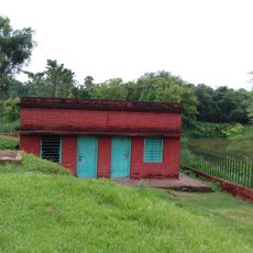
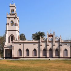
Tehatta I is an administrative block in the Nadia district of West Bengal, serving mainly agricultural communities across its territory. The area includes several villages with health facilities and one hospital that provide medical care to residents.
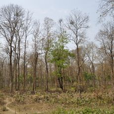
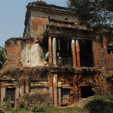
Following India's partition, East Bengali refugees converted forest areas into farmland, reshaping the region's economy. This transformation established agriculture as the foundation of life in this area.
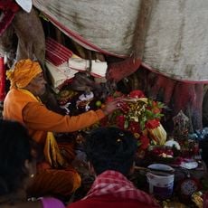
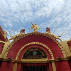
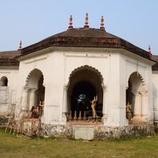
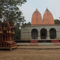
Local people speak Bengali and English while observing their religious customs in daily life. The community maintains distinct traditions that shape how residents interact in markets, homes, and public spaces.
The area is generally accessible to visitors, though infrastructure focuses on serving local communities rather than tourism. Plan your visit during October to March when weather conditions are most comfortable for exploring.
Groundwater here contains arsenic at levels above international health standards, a challenge that residents manage through alternative water sources and treatment systems. This environmental condition shapes daily decisions about water use in homes and farms.
The community of curious travelers
AroundUs brings together thousands of curated places, local tips, and hidden gems, enriched daily by 60,000 contributors worldwide.