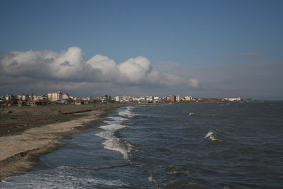
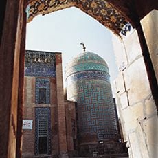
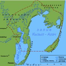
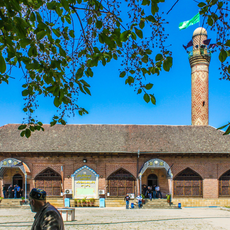
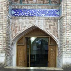
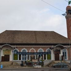
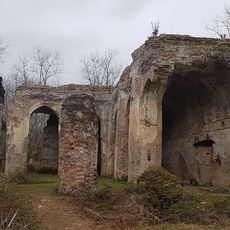
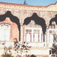
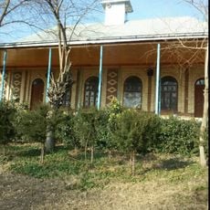
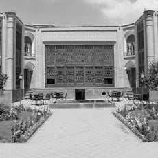
Astara, city in Gilan Province, Iran
Location: Central District
Elevation above the sea: -22 m
Part of: Astara County
Website: http://astara.ir
GPS coordinates: 38.43083,48.87000
Latest update: March 21, 2025 02:09
Sheikh Safi al-Din Khānegāh and Shrine Ensemble
54.4 km
Kyzylagach National Park
75.7 km
Hirkan National Park
26.2 km
Buzeyir Cave
52.8 km
Laton Waterfall
17.4 km
Allar Cave
68.6 km
Jome mosque
53.3 km
Ardabil Bazaar
53.9 km
Zindan Fortress
35.6 km
Big Bazar Mosque
35.8 km
Ardabil Anthropology Museum
54.6 km
Kichik Bazar Mosque
37.2 km
Göytəpə kilsəsi
79.6 km
Buyni Yugun Castle
88.4 km
Amin al-Din Jebrail Mausoleum
52.6 km
Lankaran Lighthouse
36.6 km
Bar Bar Castle
88 km
Espi Mazget
89.6 km
Aghazadeh House (Ardabil)
54.3 km
Qasımlı kənd məscidi
66.9 km
Sadeqi House
54 km
Kohneh Qal'eh, Meshginshahr
82.1 km
Shahar Yeri
83.4 km
Mojtahed Hussainiya
54.1 km
Shater Tower
58.4 km
پارک آبی ایرانیان
76.7 km
محوطه شهریری و مکتب اوشاقلاری
83.4 km
تفرجگاه بولاغلار
53.7 kmVisited this place? Tap the stars to rate it and share your experience / photos with the community! Try now! You can cancel it anytime.
Discover hidden gems everywhere you go!
From secret cafés to breathtaking viewpoints, skip the crowded tourist spots and find places that match your style. Our app makes it easy with voice search, smart filtering, route optimization, and insider tips from travelers worldwide. Download now for the complete mobile experience.
A unique approach to discovering new places❞
— Le Figaro
All the places worth exploring❞
— France Info
A tailor-made excursion in just a few clicks❞
— 20 Minutes