Alamut Castle, Mountain fortress in Qazvin Province, Iran
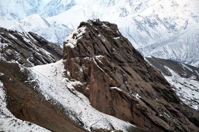
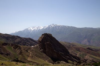
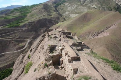
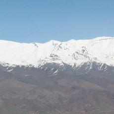
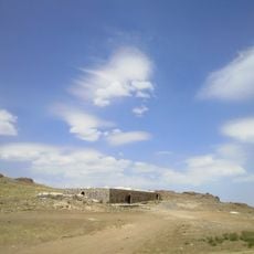
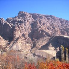
Alamut Castle is a stone fortress in Qazvin Province, Iran, built in Safavid architectural style at 2000 meters (6560 feet) elevation on a rocky plateau in the Alborz mountain range. The ruins feature three remaining defensive towers, stone cisterns carved into the rock, and traces of residential structures spread across the site.
The Justanids built the fortress in 860, and it later became the headquarters of the Nizari Ismaili movement after Hassan Sabah gained control in 1090. Mongol forces captured and destroyed the complex in 1256 during their campaign through the region.
Local tradition explains that the name comes from Aleh Amut, referring to an eagle's nest, as rulers from Deylaman followed an eagle to this site. The complex once housed scholars who studied astronomy and philosophy in what was known as a center of learning before its destruction.
Reaching the ruins requires climbing roughly 400 stone steps carved into the rock, so wear solid shoes and bring water in warm weather. The site is accessible during daylight hours, and several viewpoints along the path offer views over the surrounding valleys and peaks.
The water cisterns within the complex were designed to collect rainwater and supply residents for months during sieges. This engineering solution allowed the fortress to withstand long blockades without relying on external sources for water.
The community of curious travelers
AroundUs brings together thousands of curated places, local tips, and hidden gems, enriched daily by 60,000 contributors worldwide.