
Pain Jam District, district in Iran
Location: Torbat-e Jam County
GPS coordinates: 35.18333,60.83333
Latest update: March 12, 2025 03:00
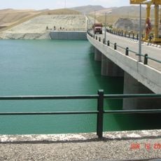
Iran–Turkmenistan Friendship Dam
90.3 km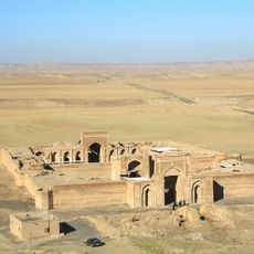
Sharaf Caravanserai
121.6 km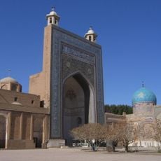
Ahmad-e Jam Mausoleum
19.9 km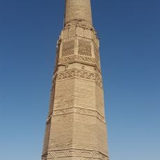
Karat Tower
73.3 km
Qutb ad-Din Haydar Mausoleum
147.6 km
Malek Zozan Mosque
127.1 km
Abbasabad Complex
23.3 km
Qasem-e Anvar Mausoleum
42.4 km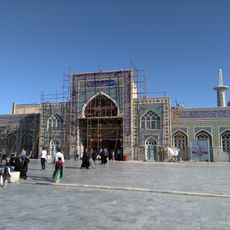
Imamzadeh Yahya (Meyami)
135.6 km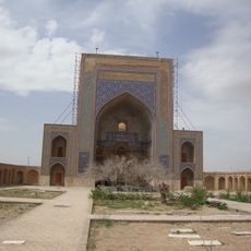
Zayn al-Din Taybadi Mausoleum
50.6 km
Jameh Mosque of Sangan
102.5 km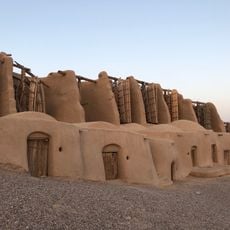
Nashtifan Windmill Complex
103 km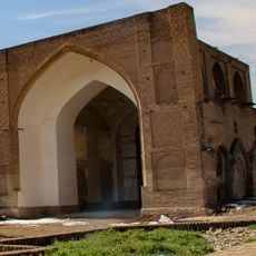
Atiq Jameh Mosque of Torbat-e Heydarieh
147.6 km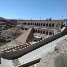
Fariman Dam
102.6 km
Mahi Caravanserai
108.5 km
Jameh Mosque of Torbat-e Heydarieh
147.1 km
Bazeh Hur Chahartaq
147 km
Jameh Mosque of Roshtkhar
112.2 km
Tabasi Caravanserai
147.6 km
Salami Garden
92 km
Haji Rais Hammam
147.3 km
دبیرستان شهید بهشتی
106.7 km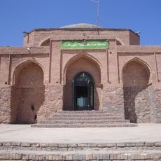
Soltan Soleyman Mausoleum
86.5 km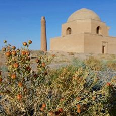
مجموعه تاریخی سنگ بست
131.2 km
Abbasabad Caravanserai
23.4 km
Lari Caravanserai
147.2 km
Qaraei House
112.5 km
Abqah Shrine
67.8 kmReviews
Visited this place? Tap the stars to rate it and share your experience / photos with the community! Try now! You can cancel it anytime.
Discover hidden gems everywhere you go!
From secret cafés to breathtaking viewpoints, skip the crowded tourist spots and find places that match your style. Our app makes it easy with voice search, smart filtering, route optimization, and insider tips from travelers worldwide. Download now for the complete mobile experience.

A unique approach to discovering new places❞
— Le Figaro
All the places worth exploring❞
— France Info
A tailor-made excursion in just a few clicks❞
— 20 Minutes