Thingvellir National Park, National park in Southern Region, Iceland
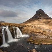
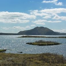
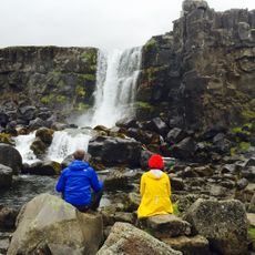
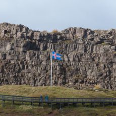
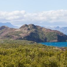
Thingvellir is a national park in Bláskógabyggð, southwestern Iceland, about 40 km northeast of Reykjavík, lying in a rift valley on the Mid-Atlantic Ridge between the North American and Eurasian plates. Its main feature is the Almannagjá fault, a long rock wall along the old assembly plain; the river Öxará runs through the park and drops as Öxarárfoss at the gorge. Þingvallavatn, Iceland's largest natural lake, lies to the south.
The area served as a meeting place for the general assembly from the year 930 for nearly nine centuries before the seat was moved in the late 18th century. This tradition shaped the legal and political development of the island for many generations.
The name Þingvellir comes from Old Norse Þingvǫllr, "assembly fields", from þing (assembly) and vǫllr (field). At the Lögberg, the Law Rock, the Lawspeaker recited the law from memory over three summers before it was written down. At the Almannagjá gorge, weathered stone walls remain from the turf-and-canvas booths of the annual two-week June assembly.
Several walking trails run through the park and offer different difficulty levels, while information centers provide maps and guidance. A large parking area sits at the main entrance, and some activities like diving or fishing require prior permission.
Water flowing through the Silfra fissure has been filtered for decades through underground lava fields and remains exceptionally clear. The temperature of this water varies little throughout the year, staying close to 2 degrees Celsius (36 degrees Fahrenheit).
The community of curious travelers
AroundUs brings together thousands of curated places, local tips, and hidden gems, enriched daily by 94,064 contributors worldwide.