Jökulsárlón, Proglacial lake in Eastern Region, Iceland
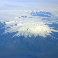
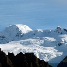
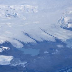
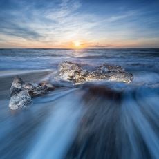
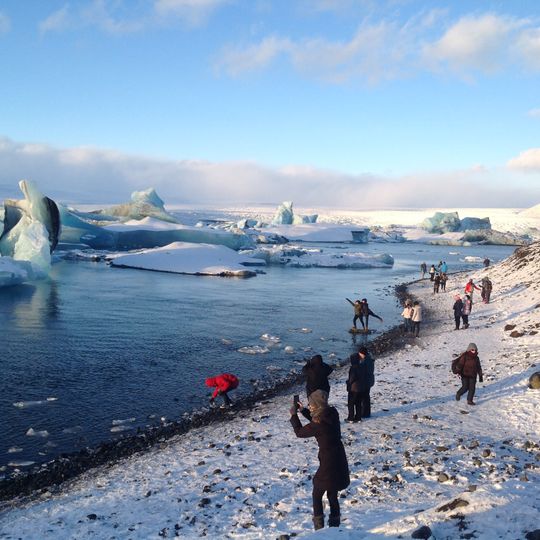
Jökulsárlón is a glacial lake at the foot of Vatnajökull in the Eastern Region of Iceland, formed by icebergs breaking off from Breidamerkurjokull. The floating ice blocks drift slowly across the basin before disappearing through a narrow passage into the ocean.
The basin formed from 1934 onward when Breidamerkurjokull retreated and left a deep hollow in the ground. The withdrawal of the glacier accelerated over the following decades and shaped the current lagoon.
The name combines the Icelandic words for glacier, river and lagoon, describing precisely the form of this body of water. Visitors often see seals resting on ice chunks and can watch how the water shifts from deep blue to turquoise depending on the light.
The lagoon sits directly along the ring road and is clearly visible from the main route. Boat tours depart during the warmer months and allow closer approach to the ice blocks.
Jökulsárlón was reported in 2009 as Iceland's deepest lake, at over 284 m (932 ft), where the glacier snout once stood. Its area grew fourfold since the 1970s, from about 8 km² in 1975 to roughly 25 km². Iceland issued a 26-krónur postage stamp showing the lagoon in 1991.
The community of curious travelers
AroundUs brings together thousands of curated places, local tips, and hidden gems, enriched daily by 92,684 contributors worldwide.