Látrabjarg, Coastal cliff formation in Vesturbyggð, Iceland
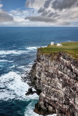
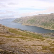
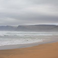
Látrabjarg is a dramatic coastal cliff stretching roughly 14 kilometers along Iceland's western edge, rising to about 440 meters above the Atlantic Ocean. The rock face displays vertical columns and layered formations that create distinct patterns and reveal the geological history of this remote coastline.
In 1947, local farmers carried out a three-day rescue operation at this site after the British trawler Dhoon wrecked during a severe storm. This dramatic event shows how connected the community has always been to the dangers and challenges of this remote coastal area.
Thousands of seabirds nest in the rock walls from May through August, making this place a vital breeding ground where visitors can observe multiple species up close from safe viewing areas.
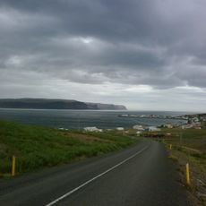
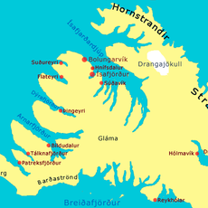
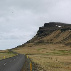
The drive from Reykjavik takes about six hours, following Route 62 toward Route 612, with the final section on gravel roads. Winter weather often blocks access due to snow, so visits are best planned between late spring and early autumn.
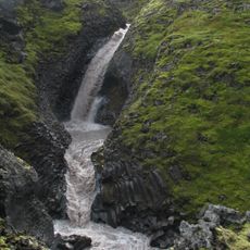
This site marks Iceland's westernmost point and displays multiple rock layers formed over centuries through volcanic activity and relentless wave erosion. The visible stratification in the cliffs tells the story of how this coastline has been constantly reshaped by natural forces.
The community of curious travelers
AroundUs brings together thousands of curated places, local tips, and hidden gems, enriched daily by 60,000 contributors worldwide.